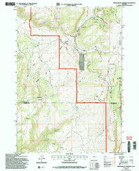
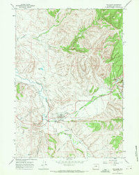
1993 Map of Brokenback Narrows
USGS Topo · Published 1997About this map
Big Horn National Forest encompasses the high country shown in this survey, where the administrative presence of the Forest Service is marked by the Tyrrell Work Center and Soldier Creek Camp. The landscape is defined by the steep canyon of Brokenback Narrows and the passage of the Twelfth Standard Parallel North across the rugged drainage basins. Significant water resources like Paint Rock Creek and West Tensleep Creek carve through the terrain, supporting isolated features such as a Corral and a Gravel Pit. The map captures a high-altitude wilderness used for timber management and backcountry access, evidenced by the network of 4wd tracks and the notable alpine meadows of Boulder Park.
Find a feature on this map
29 named features on this map. Tap any name to fly to it.
Don’t see what you’re looking for? This feature index may not catch every label — zoom into the map to look around manually.
Map Details
Editions of this 1993 Brokenback Narrows Map
2 editions found
Other maps of this area

1899 · Cloud peak
USGS Topo · 1:125,000

1901 · Cloud Peak
USGS Topo · 1:125,000

1955 · Sheridan
USGS Topo · 1:250,000

1958 · Sheridan
USGS Topo · 1:250,000

1960 · Lake Solitude
USGS Topo · 1:24,000

1962 · Sheridan
USGS Topo · 1:250,000
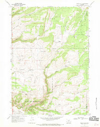
1967 · Onion Gulch
USGS Topo · 1:24,000
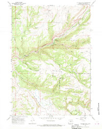
1967 · Old Maid Gulch
USGS Topo · 1:24,000
1967 · Ten Sleep
USGS Topo · 1:24,000

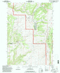
1967 · Brokenback Narrows
USGS Topo · 1:24,000