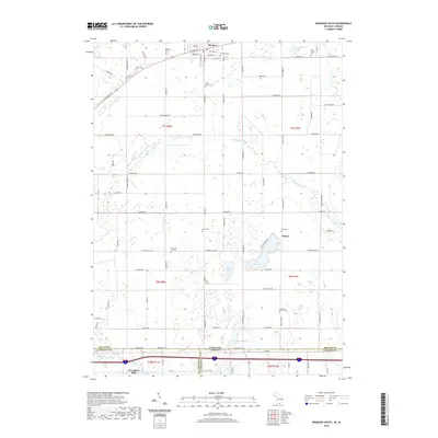
2019 Map of Bronson South
USGS Topo · Published 2019About this map
The southern portion of Bronson and the surrounding rural townships of Branch County characterize this landscape near the Michigan-Indiana border. The terrain is marked by a high density of small lakes and wetlands, including Gilead Lake, Calhoon Lake, and Anderson Lake, which are interspersed with a grid of country roads. The settlement of Gilead serves as a central point for the eastern half of the sheet, while Greenfield Mills lies to the southwest along the Fawn River.
Find a feature on this map
64 named features on this map. Tap any name to fly to it.
Don’t see what you’re looking for? This feature index may not catch every label — zoom into the map to look around manually.
Map Details
Editions of this 2019 Bronson South Map
This is the sole edition of this map. No revisions or reprints were ever made.
Other maps of this area

1940 · Orland
USGS Topo · 1:24,000

1941 · Orland
USGS Topo · 1:24,000

1941 · Angola West
USGS Topo · 1:24,000

1942 · Angola West
USGS Topo · 1:24,000

1947 · Mongo
USGS Topo · 1:24,000

1953 · Fort Wayne
USGS Topo · 1:250,000

1956 · Fort Wayne
USGS Topo · 1:250,000

1960 · Coldwater West
USGS Topo · 1:24,000
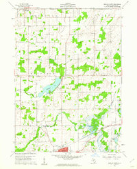
1960 · Bronson North
USGS Topo · 1:24,000
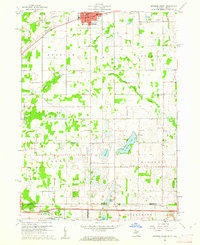
1960 · Bronson South
USGS Topo · 1:24,000