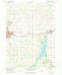
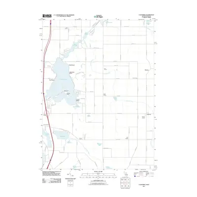
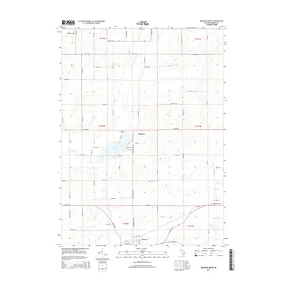
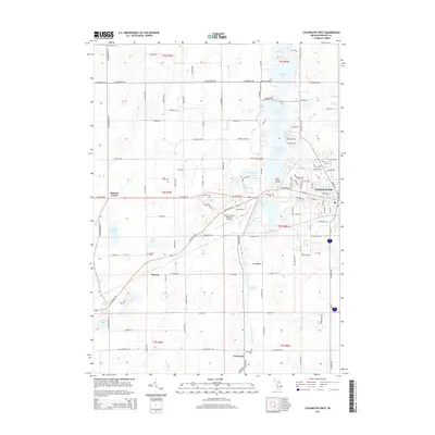
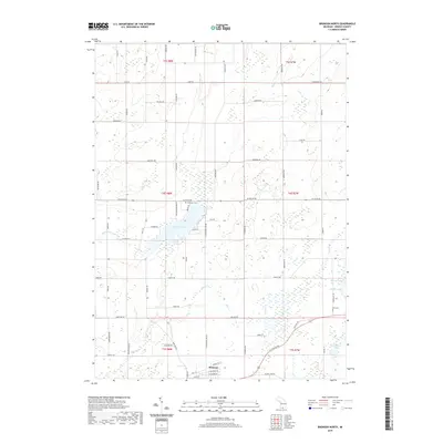
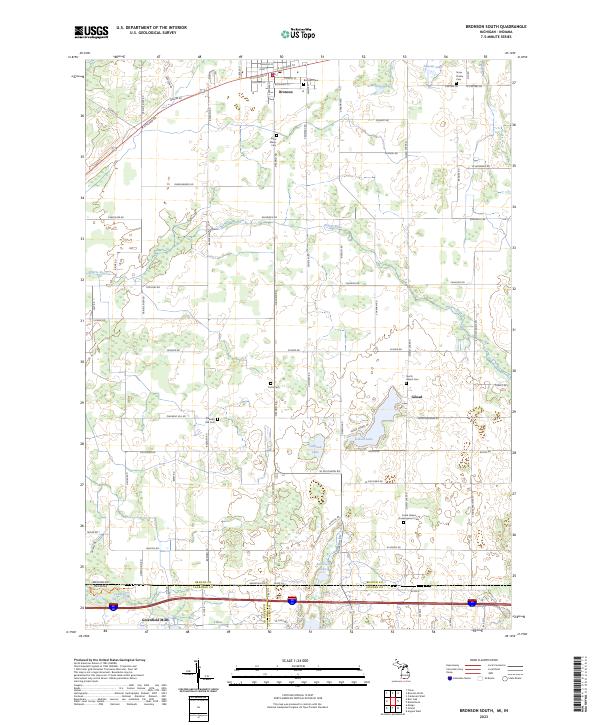
1960 Map of Bronson South
USGS Topo · Published 1978About this map
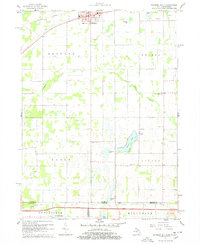
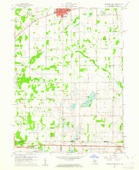
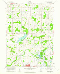
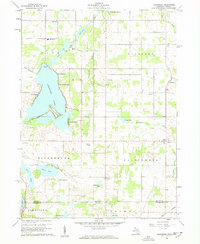
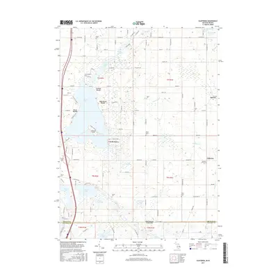
Bronson stands at the northern edge of this 1960 survey, a center for rail and community life near the New York Central line. The landscape transitions southward into a patchwork of rural townships, including Bethel, Noble, and Gilead, where the terrain is marked by small lakes like Monroe Lake and Gilead Lake. A distinct cultural and geographic feature, Snow Prairie, sits in the east, accompanied by its namesake Snow Prairie Cem.
Find a feature on this map
39 named features on this map. Tap any name to fly to it.
Don’t see what you’re looking for? This feature index may not catch every label — zoom into the map to look around manually.
Map Details
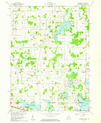
Editions of this 1960 Bronson South Map
2 editions found
Historical Maps of Bronson Through Time
36 maps found
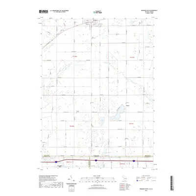
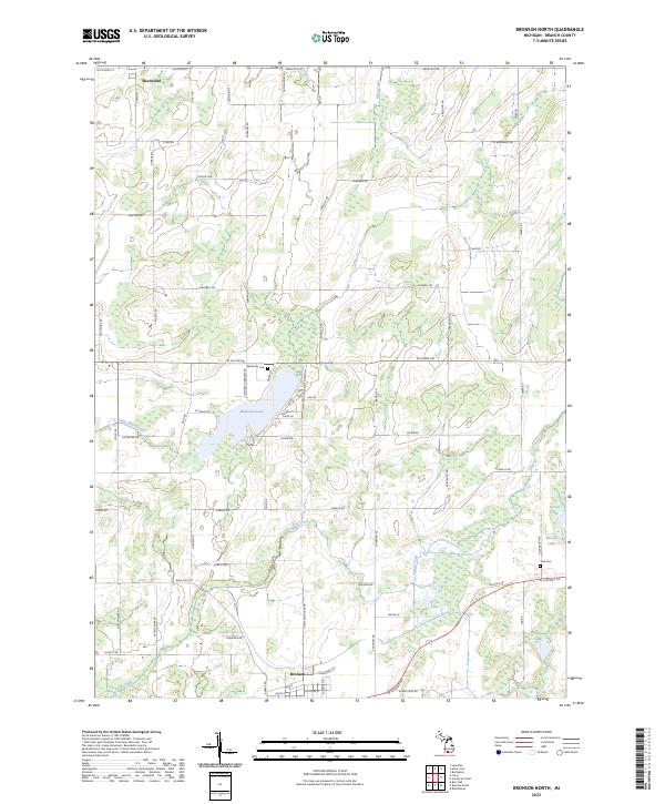
1960 Bronson North
Branch County, MI
1960 Bronson South
Branch County, MI
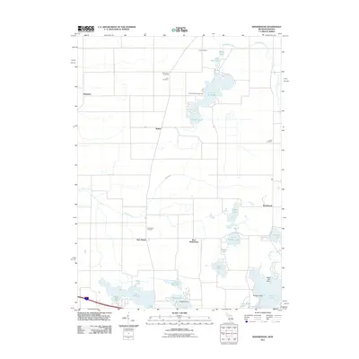
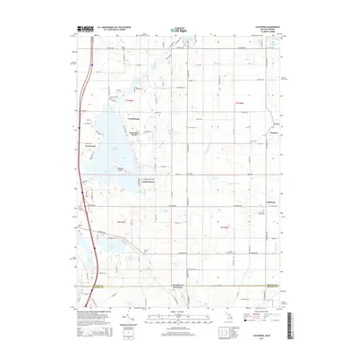
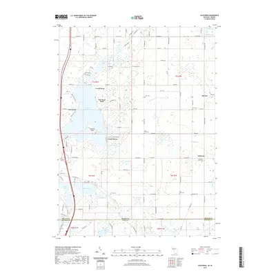
1960 California
Branch County, MI
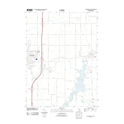
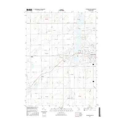
1960 Coldwater East
Branch County, MI

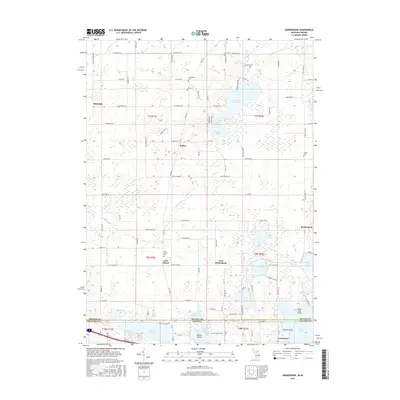
1960 Coldwater West
Branch County, MI
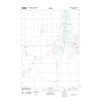
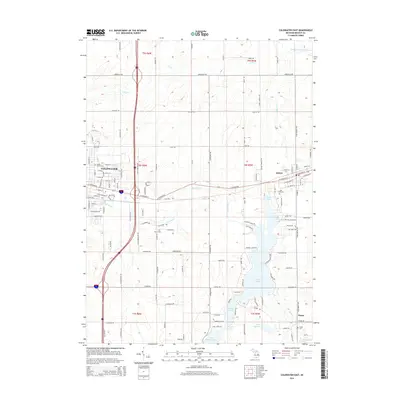
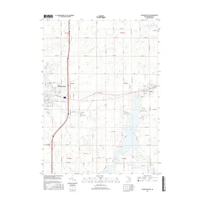
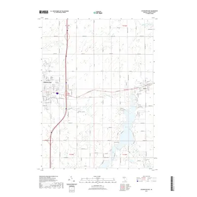
1960 Kinderhook
Branch County, MI
2011 Bronson North
Branch County, MI
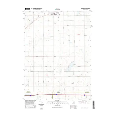
2011 Bronson South
Branch County, MI
2011 California
Branch County, MI
2011 Coldwater East
Branch County, MI
2011 Coldwater West
Branch County, MI
2011 Kinderhook
Branch County, MI
2014 Bronson North
Branch County, MI
2014 Bronson South
Branch County, MI
2014 California
Branch County, MI
2014 Coldwater East
Branch County, MI
2014 Coldwater West
Branch County, MI
2014 Kinderhook
Branch County, MI
2017 Bronson North
Branch County, MI
2017 Bronson South
Branch County, MI
2017 California
Branch County, MI
2017 Coldwater East
Branch County, MI
2017 Coldwater West
Branch County, MI
2017 Kinderhook
Branch County, MI
2019 Bronson North
Branch County, MI
2019 Bronson South
Branch County, MI
2019 California
Branch County, MI
2019 Coldwater East
Branch County, MI
2019 Coldwater West
Branch County, MI
2019 Kinderhook
Branch County, MI
2023 Bronson North
Branch County, MI
2023 Bronson South
Branch County, MI
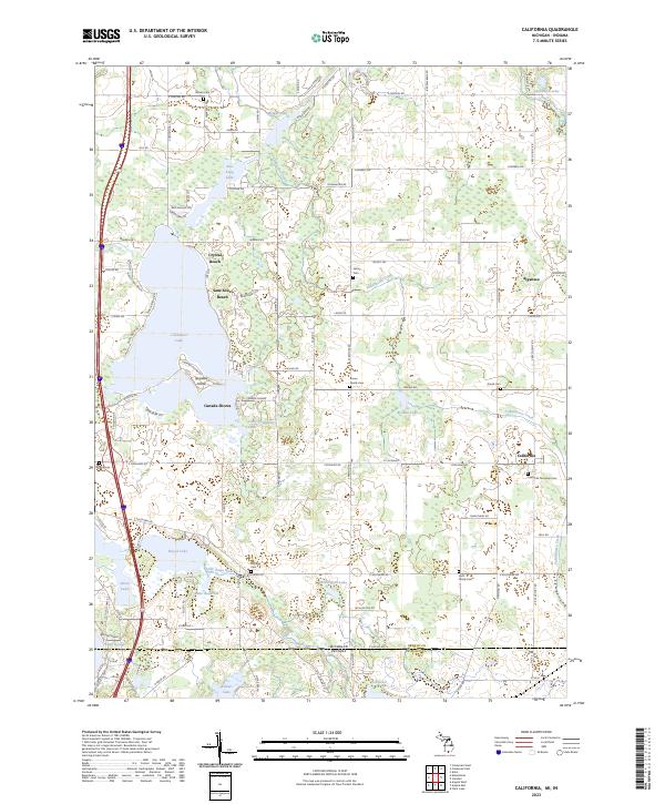
2023 California
Branch County, MI
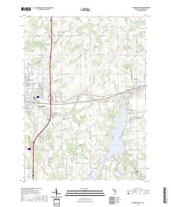
2023 Coldwater East
Branch County, MI
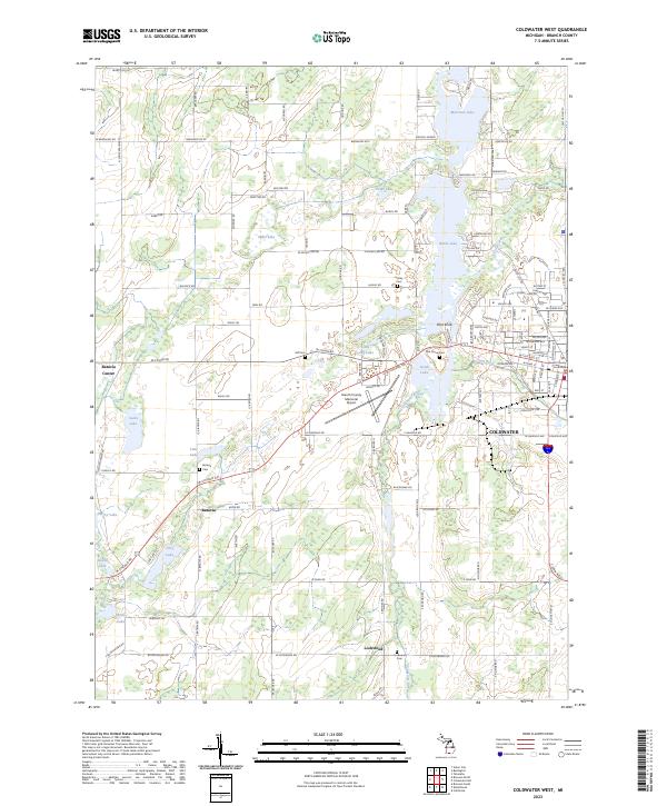
2023 Coldwater West
Branch County, MI
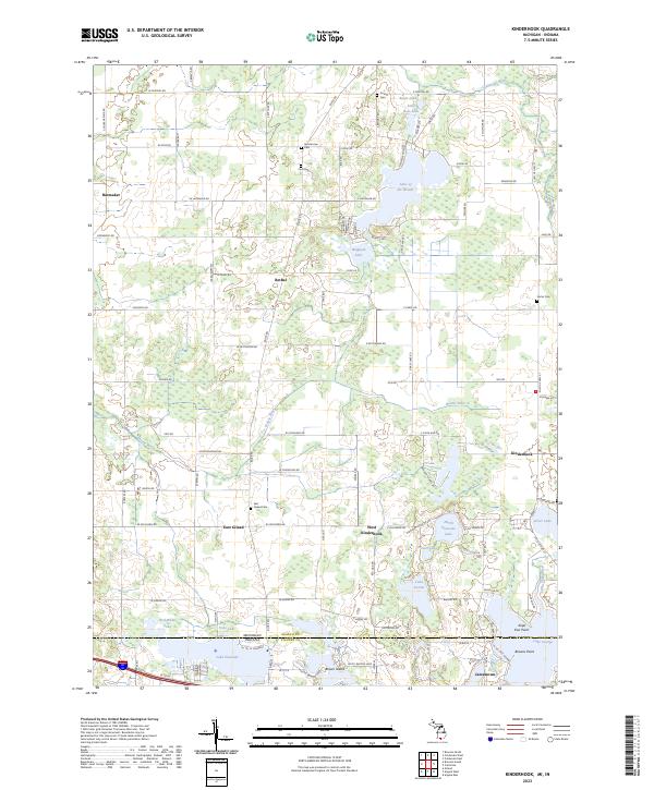
2023 Kinderhook
Branch County, MI