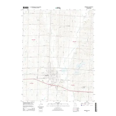
2015 Map of Brookfield
USGS Topo · Published 2015About this map
The city of Brookfield serves as the focal point of this Linn County survey, where the urban street grid meets the agricultural landscapes of northern Missouri. Water management is a defining characteristic of the local geography, evidenced by the clustered reservoirs of Brookfield Reservoir, Brookfield City Lake, and Brookfield Country Club Lake. These bodies of water sit nestled within the drainage basins of West Yellow Creek and Elk Cr, which wind through the township boundaries of T58N and T57N.
Find a feature on this map
85 named features on this map. Tap any name to fly to it.
Don’t see what you’re looking for? This feature index may not catch every label — zoom into the map to look around manually.
Map Details
Editions of this 2015 Brookfield Map
This is the sole edition of this map. No revisions or reprints were ever made.
Other maps of this area

1946 · Brookfield
USGS Topo · 1:62,500

1948 · Brookfield
USGS Topo · 1:62,500

1949 · Sumner
USGS Topo · 1:24,000

1949 · Rothville
USGS Topo · 1:24,000

1949 · Bucklin
USGS Topo · 1:24,000

1949 · Bucklin NW
USGS Topo · 1:24,000

1950 · Bucklin
USGS Topo · 1:24,000

1950 · Sumner
USGS Topo · 1:24,000

1950 · Rothville
USGS Topo · 1:24,000

1950 · Bucklin NW
USGS Topo · 1:24,000