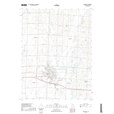
2017 Map of Brookfield
USGS Topo · Published 2017About this map
Brookfield serves as the central hub of this Linn County landscape, where a dense grid of residential streets like E Boston St and W Helm St meets the industrial corridors along the southern edge of town. The surrounding terrain is defined by a dendritic network of waterways, including the prominent West Yellow Creek and Long Br, which carve through the agricultural sections of T58N R20W and T57N R19W. Just south of the municipal center, Rosehill Cem provides a point of genealogical interest, while the modern footprint of the North Central Missouri Regional Airport marks the eastern periphery. The transition from the structured town blocks to the winding country roads, such as Green Hills Rd and Hagar Rd, illustrates the persistent relationship between this Missouri community and its rural timber and creek-fed surroundings.
Find a feature on this map
97 named features on this map. Tap any name to fly to it.
Don’t see what you’re looking for? This feature index may not catch every label — zoom into the map to look around manually.
Map Details
Editions of this 2017 Brookfield Map
This is the sole edition of this map. No revisions or reprints were ever made.
Other maps of this area

1946 · Brookfield
USGS Topo · 1:62,500

1948 · Brookfield
USGS Topo · 1:62,500

1949 · Sumner
USGS Topo · 1:24,000

1949 · Rothville
USGS Topo · 1:24,000

1949 · Bucklin
USGS Topo · 1:24,000

1949 · Bucklin NW
USGS Topo · 1:24,000

1950 · Bucklin
USGS Topo · 1:24,000

1950 · Sumner
USGS Topo · 1:24,000

1950 · Rothville
USGS Topo · 1:24,000

1950 · Bucklin NW
USGS Topo · 1:24,000