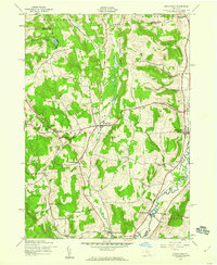
1943 Map of Brookfield
USGS Topo · Published 1960About this map
Brookfield and Leonardsville serve as central hubs in this mid-century portrait of a rural landscape defined by the valley of the Unadilla River. The map reveals a tight-knit network of agricultural settlements and family-named landmarks, such as Mount Hunger and Gorton Hill, where local life revolved around small hamlets like South Brookfield and Five Corners. The presence of numerous small burying grounds, including Crumb Cem and Lamb Cem, alongside local education centers like Waterman Sch, offers significant detail for researchers tracing early twentieth-century community structures. A Fairground near Brookfield and industrial or community sites at Button Falls highlight the active local economy before the postwar transition. The drainage of Beaver Creek and Mill Creek through these Madison and Otsego County townships illustrates the traditional reliance on water power and fertile valley bottoms that shaped the region's development.
Find a feature on this map
36 named features on this map. Tap any name to fly to it.
Don’t see what you’re looking for? This feature index may not catch every label — zoom into the map to look around manually.
Map Details
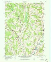
Editions of this 1943 Brookfield Map
2 editions found
Other maps of this area

1907 · Winfield
USGS Topo · 1:62,500

1907 · Sangerfield
USGS Topo · 1:62,500

1910 · Hartwick
USGS Topo · 1:62,500

1910 · New Berlin
USGS Topo · 1:62,500

1912 · New Berlin
USGS Topo · 1:62,500

1912 · Hartwick
USGS Topo · 1:62,500

1943 · New Berlin North
USGS Topo · 1:24,000

1943 · Hubbardsville
USGS Topo · 1:24,000

1943 · Cassville
USGS Topo · 1:24,000

1943 · Unadilla Forks
USGS Topo · 1:24,000