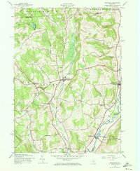
1943 Map of Brookfield
USGS Topo · Published 1973About this map
Beaver Creek and the Unadilla River anchor a rural landscape at the intersection of Madison, Oneida, and Otsego counties in this mid-century survey. The settlement of Brookfield sits centrally, supported by smaller hamlets like Leonardsville, West Edmeston, and South Brookfield. The map reveals a dense network of family history markers, including the Gorton Cem, Crumb Cem, and Mott Cem, which are tucked away near the many hills like Witter Hill and Button Hill. The distribution of local education is evident through sites such as Waterman Sch and School No 2. This era of documentation highlights a traditional New York dairy country economy, where the terrain was closely divided by town boundaries like Sangerfield and Bridgewater, and local life centered on the small creek valleys and local school districts.
Find a feature on this map
35 named features on this map. Tap any name to fly to it.
Don’t see what you’re looking for? This feature index may not catch every label — zoom into the map to look around manually.
Map Details
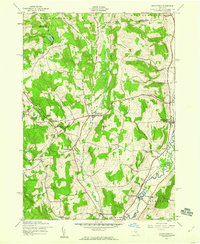
Editions of this 1943 Brookfield Map
2 editions found
Other maps of this area

1907 · Winfield
USGS Topo · 1:62,500

1907 · Sangerfield
USGS Topo · 1:62,500

1910 · Hartwick
USGS Topo · 1:62,500

1910 · New Berlin
USGS Topo · 1:62,500

1912 · New Berlin
USGS Topo · 1:62,500

1912 · Hartwick
USGS Topo · 1:62,500

1943 · New Berlin North
USGS Topo · 1:24,000

1943 · Hubbardsville
USGS Topo · 1:24,000

1943 · Cassville
USGS Topo · 1:24,000

1943 · Unadilla Forks
USGS Topo · 1:24,000