Loading...
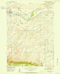
Loading map...1961 Map of Brookhurst
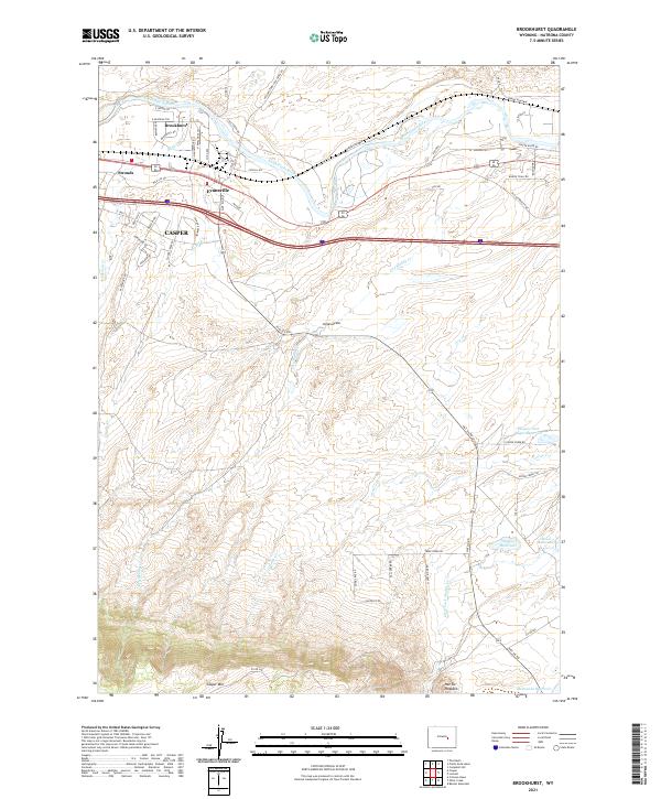
USGS Topo · Published 1977About this map
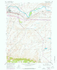
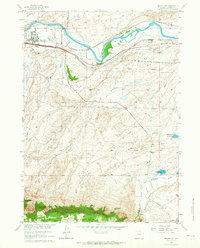
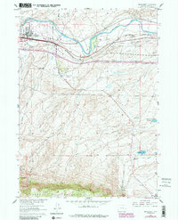
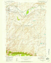
The North Platte River serves as the focal point for this section of Natrona County, where industrial development meets historic western transit corridors. North of the river, the Brookhurst settlement is dominated by a large Refinery and Oil Sump, while the southern bank carries the parallel paths of the Chicago and North Western and Chicago Burlington and Quincy railroads. These modern rail lines follow the general path of the historic Emigrant Trail, which remains a visible artifact on the landscape near Strouds.
Find a feature on this map
38 named features on this map. Tap any name to fly to it.
Don’t see what you’re looking for? This feature index may not catch every label — zoom into the map to look around manually.
Map Details
Date Portrayed1961
Date Published1977
PublisherU.S. Geological Survey
Map TypeTopographic
Scale1:24,000
Physical Dimensions21.7 x 26.8 inches
Editions of this 1961 Brookhurst Map
3 editions found
Historical Maps of Casper Through Time
4 maps found
Featured Locations
Source Details
SourceU.S. Geological Survey
CopyrightPublic Domain