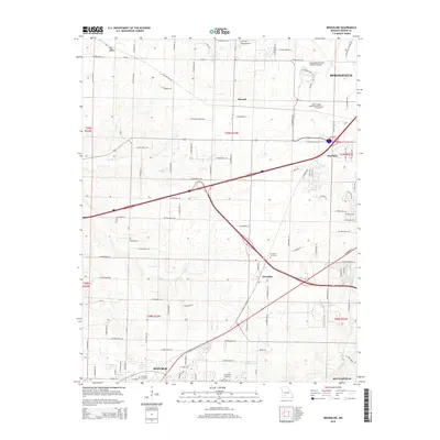
2015 Map of Brookline
USGS Topo · Published 2015About this map
The Springfield metropolitan periphery and the western reaches of Greene County are captured here as suburban expansion meets the region's agricultural roots. The prominent Springfield-Branson National Airport anchors the north, while the expanding communities of Republic and Battlefield define the southern limits. This landscape is a patchwork of residential development and older rural settlements like Elwood and Haseltine.
Find a feature on this map
102 named features on this map. Tap any name to fly to it.
Don’t see what you’re looking for? This feature index may not catch every label — zoom into the map to look around manually.
Map Details
Editions of this 2015 Brookline Map
This is the sole edition of this map. No revisions or reprints were ever made.
Other maps of this area

1884 · Springfield
USGS Topo · 1:125,000

1886 · Greenfield
USGS Topo · 1:125,000

1886 · Springfield
USGS Topo · 1:125,000

1888 · Greenfield
USGS Topo · 1:125,000

1919 · Halltown
USGS Topo · 1:62,500

1935 · Springfield
USGS Topo · 1:24,000

1936 · Brookline
USGS Topo · 1:24,000

1948 · Willard
USGS Topo · 1:24,000

1948 · Ebenezer
USGS Topo · 1:24,000

1954 · Springfield
USGS Topo · 1:250,000