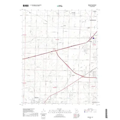
2017 Map of Brookline
USGS Topo · Published 2017About this map
Brookline and the northern reaches of Republic anchor this landscape on the southwestern periphery of Springfield. The area is characterized by a transition from established urban infrastructure to a rural-suburban grid defined by an extensive network of farm roads, including W Farm Rd 144 and W Farm Rd 156. Waterways like Pond Cr and the Sac River carve through the terrain, while landmarks such as the Springfield-Branson National Airport mark the region's modern logistical importance.
Find a feature on this map
64 named features on this map. Tap any name to fly to it.
Don’t see what you’re looking for? This feature index may not catch every label — zoom into the map to look around manually.
Map Details
Editions of this 2017 Brookline Map
This is the sole edition of this map. No revisions or reprints were ever made.
Other maps of this area

1884 · Springfield
USGS Topo · 1:125,000

1886 · Greenfield
USGS Topo · 1:125,000

1886 · Springfield
USGS Topo · 1:125,000

1888 · Greenfield
USGS Topo · 1:125,000

1919 · Halltown
USGS Topo · 1:62,500

1935 · Springfield
USGS Topo · 1:24,000

1936 · Brookline
USGS Topo · 1:24,000

1948 · Willard
USGS Topo · 1:24,000

1948 · Ebenezer
USGS Topo · 1:24,000

1954 · Springfield
USGS Topo · 1:250,000