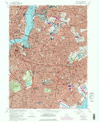
1967 Map of Brooklyn
USGS Topo · Published 1967About this map
Prospect Park and the sprawling grid of central Brooklyn anchor this late-1960s survey, capturing the borough during a period of dense urban maturity. The map details the transition from the industrial waterfronts at Wallabout Bay and the New York Naval Shipyard to the residential character of neighborhoods like Bedford, Stuyvesant, and Flatbush. A significant portion of the eastern landscape is dedicated to a massive corridor of memorial grounds, including the Cypress Hills Cemetery and St. Johns Cemetery, which separate the residential blocks of Ridgewood from East New York. Industrial and maritime activity is concentrated along Newtown Creek and the East River shoreline, where the Williamsburg Bridge and Brooklyn Bridge connect the borough to Manhattan. Institutional footprints are prominent throughout, from the Pratt Institute to the extensive medical complex at Kings County Hospital.
Find a feature on this map
93 named features on this map. Tap any name to fly to it.
Don’t see what you’re looking for? This feature index may not catch every label — zoom into the map to look around manually.
Map Details
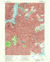
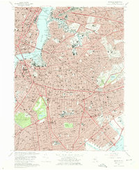
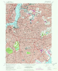
Editions of this 1967 Brooklyn Map
4 editions found
Other maps of this area

1888 · Paterson
USGS Topo · 1:62,500

1889 · Brooklyn
USGS Topo · 1:62,500

1891 · Brooklyn
USGS Topo · 1:62,500

1891 · Harlem
USGS Topo · 1:62,500

1892 · Paterson
USGS Topo · 1:62,500

1897 · Harlem
USGS Topo · 1:62,500

1897 · Brooklyn
USGS Topo · 1:62,500

1898 · Harlem
USGS Topo · 1:62,500

1898 · Staten Island
USGS Topo · 1:62,500

1898 · Brooklyn
USGS Topo · 1:62,500