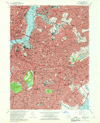
1967 Map of Brooklyn
USGS Topo · Published 1970About this map
Prospect Park serves as a central green lung for Brooklyn on this 1960s-era survey, its winding paths anchored by the Litchfield Mansion and overlooking the expanse of Prospect Lake. The surrounding urban grid is a dense network of distinct neighborhoods, from the historic brownstones of Brooklyn Heights to the residential streets of Flatbush and Borough Park. This map captures the industrial and logistical character of the borough's waterfront, dominated by the Navy Yard and the shipping channels of Wallabout Bay and Bushwick Inlet.
Find a feature on this map
105 named features on this map. Tap any name to fly to it.
Don’t see what you’re looking for? This feature index may not catch every label — zoom into the map to look around manually.
Map Details
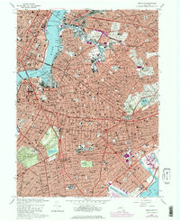
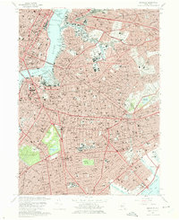
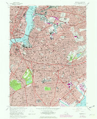
Editions of this 1967 Brooklyn Map
4 editions found
Other maps of this area

1888 · Paterson
USGS Topo · 1:62,500

1889 · Brooklyn
USGS Topo · 1:62,500

1891 · Brooklyn
USGS Topo · 1:62,500

1891 · Harlem
USGS Topo · 1:62,500

1892 · Paterson
USGS Topo · 1:62,500

1897 · Harlem
USGS Topo · 1:62,500

1897 · Brooklyn
USGS Topo · 1:62,500

1898 · Harlem
USGS Topo · 1:62,500

1898 · Staten Island
USGS Topo · 1:62,500

1898 · Brooklyn
USGS Topo · 1:62,500