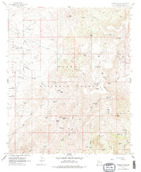
1967 Map of Brooklyn Peak
USGS Topo · Published 1977About this map
Tonto National Forest defines this high-desert landscape in Yavapai County, where the 1967 terrain is marked by remote cabins and vital water sources. The map reveals a network of high-elevation ranching and mining sites, notably the Rosalie Mine and scattered outposts like Crockett Cabin, Wright Cabin, and Wood Camp Cabin. These structures, along with Six Bar Ranch in the south, indicate a period of active land use in an area dominated by mesa and ridge formations. The topography is meticulously detailed, showing the steep drainages of Bishop Creek and the prominence of Brooklyn Peak. A complex system of livestock tanks and natural springs, such as Rosalie Spring and Hutch Springs, underscores the importance of water management for survival in this arid environment. Traces of historical movement are visible through named routes like the Hackberry Trail, which connects these isolated mesas and springs.
Find a feature on this map
70 named features on this map. Tap any name to fly to it.
Don’t see what you’re looking for? This feature index may not catch every label — zoom into the map to look around manually.
Map Details
Editions of this 1967 Brooklyn Peak Map
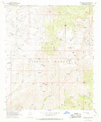
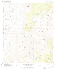
3 editions found
Other maps of this area

1887 · Verde
USGS Topo · 1:250,000

1887 · Prescott
USGS Topo · 1:250,000

1892 · Verde
USGS Topo · 1:250,000

1892 · Prescott
USGS Topo · 1:250,000

1903 · Bradshaw Mountains
USGS Topo · 1:125,000

1929 · Turret Peak
USGS Topo · 1:125,000

1933 · Turret Peak
USGS Topo · 1:125,000

1947 · Bumblebee
USGS Topo · 1:62,500

1947 · Mayer
USGS Topo · 1:62,500

1948 · Bumblebee
USGS Topo · 1:63,360