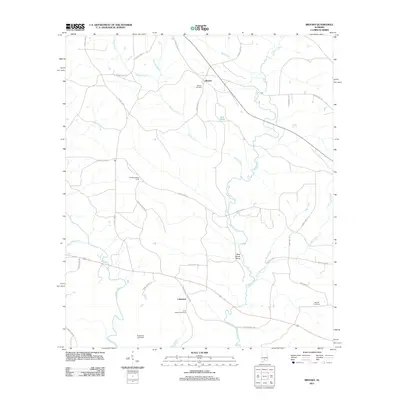
2011 Map of Brooks
USGS Topo · Published 2011About this map
Pigeon Creek and the winding Sepulga River dominate this pocket of south-central Alabama, where the landscape is defined by the convergence of several major tributaries. The settlement of Cohassett serves as a local hub near the Long Branch Cemetery, while to the north, the community of Brooks is centered around Brooks Cemetery and the notable Brooks Lookout Tower.
Find a feature on this map
36 named features on this map. Tap any name to fly to it.
Don’t see what you’re looking for? This feature index may not catch every label — zoom into the map to look around manually.
Map Details
Editions of this 2011 Brooks Map
This is the sole edition of this map. No revisions or reprints were ever made.
Other maps of this area

1953 · Andalusia
USGS Topo · 1:250,000

1957 · Andalusia
USGS Topo · 1:250,000

1971 · Brooks
USGS Topo · 1:24,000

1971 · Industry
USGS Topo · 1:24,000

1971 · River Falls
USGS Topo · 1:24,000

1971 · Mc Kenzie
USGS Topo · 1:24,000

1971 · Red Level
USGS Topo · 1:24,000

1971 · Loango
USGS Topo · 1:24,000

1971 · Garland
USGS Topo · 1:24,000

1982 · Old Town
USGS Topo · 1:24,000