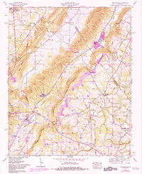
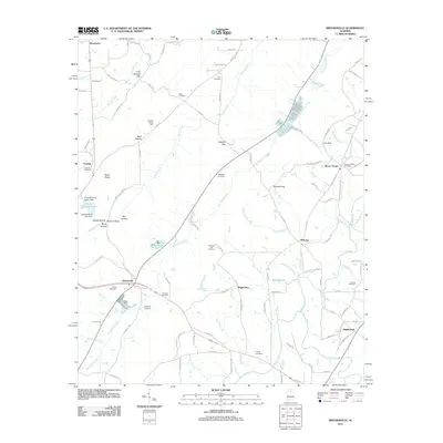
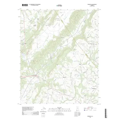
1975 Map of Brooksville
USGS Topo · Published 1983About this map
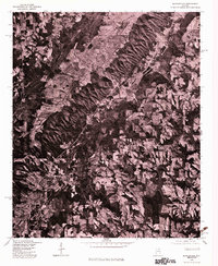
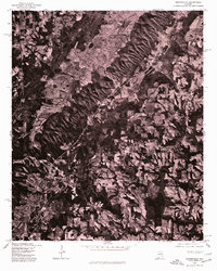
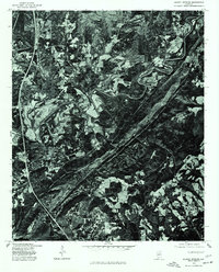
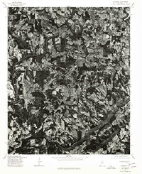
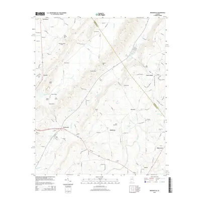
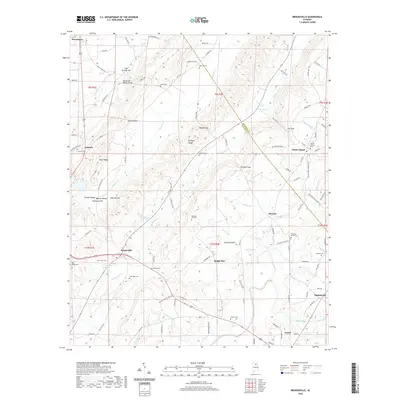
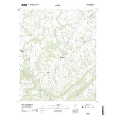
Brooksville and the surrounding Blount County landscape appear in this orthophotoquad, which uses aerial imagery from 1975 to document the rural character of the region. The imagery reveals a complex pattern of timbered ridges and cleared valley floors, illustrating the enduring agricultural and silvicultural footprint on the Alabama terrain. Unlike traditional topographic maps, this survey provides a direct visual record of land use, showing the exact density of forest cover and the arrangement of farmsteads and rural roads near Nixon Chapel. The intersection of roads and the distinct texture of the vegetation offer a literal view of the mid-1970s environment, capturing the scale of clearings and the distribution of private residences along the primary corridors of this rural community.
Find a feature on this map
2 named features on this map. Tap any name to fly to it.
Don’t see what you’re looking for? This feature index may not catch every label — zoom into the map to look around manually.
Map Details
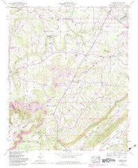
Editions of this 1975 Brooksville Map
2 editions found
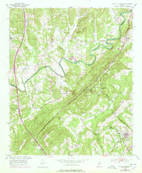
Historical Maps of Snead Through Time
24 maps found
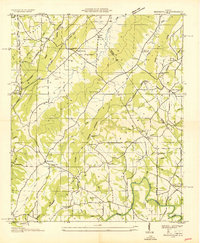
1936 Brooksville
Blount County, AL
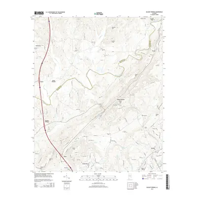
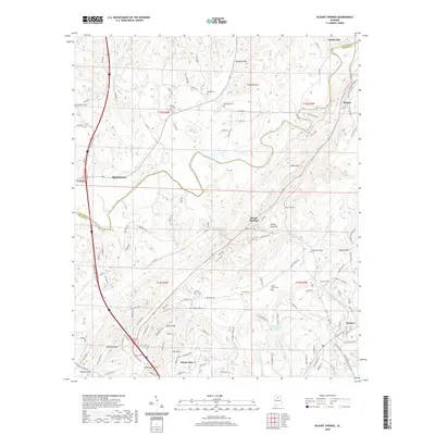
1951 Blount Springs
Blount County, AL
1958 Brooksville
Blount County, AL
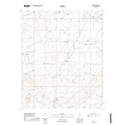
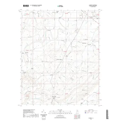
1958 Clarence
Blount County, AL
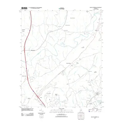
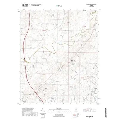
1975 Blount Springs
Blount County, AL
1975 Brooksville
Blount County, AL
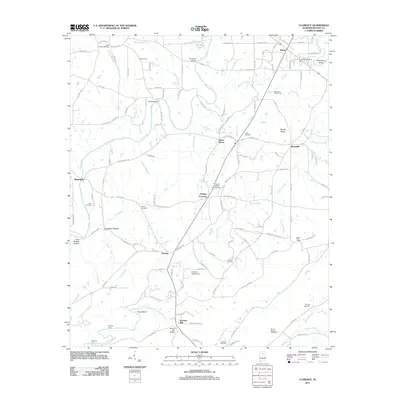
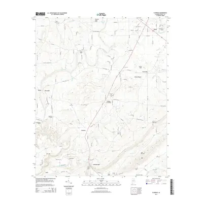
1975 Clarence
Blount County, AL
2011 Blount Springs
Blount County, AL
2011 Brooksville
Blount County, AL
2011 Clarence
Blount County, AL
2014 Blount Springs
Blount County, AL
2014 Brooksville
Blount County, AL
2014 Clarence
Blount County, AL
2018 Blount Springs
Blount County, AL
2018 Brooksville
Blount County, AL
2018 Clarence
Blount County, AL
2020 Blount Springs
Blount County, AL
2020 Brooksville
Blount County, AL
2020 Clarence
Blount County, AL
2024 Blount Springs
Blount County, AL
2024 Brooksville
Blount County, AL
2024 Clarence
Blount County, AL
2026 Brooksville
Blount County, AL
2026 Clarence
Blount County, AL