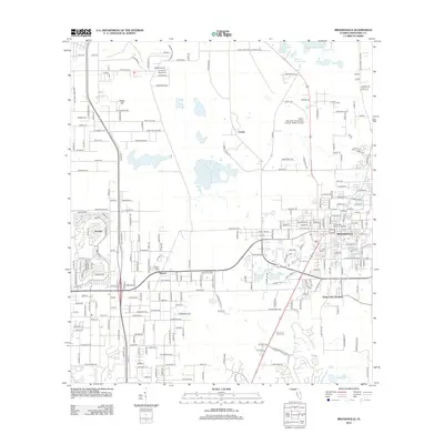
2012 Map of Brooksville
USGS Topo · Published 2012About this map
Brooksville serves as the central hub of this Hernando County landscape, showing the city's modern street grid and municipal features including the local Po and Florida Hills Memorial Gardens. The surrounding area is characterized by a mix of established residential pockets and significant institutions, such as the Pasco-Hernando Community College - North Campus. To the west and north, smaller named settlements like Wiscon, Norman, and Camps are situated among a series of depressions and water bodies, including Willow Prairie Lake and Horse Lake.
Find a feature on this map
256 named features on this map. Tap any name to fly to it.
Don’t see what you’re looking for? This feature index may not catch every label — zoom into the map to look around manually.
Map Details
Editions of this 2012 Brooksville Map
This is the sole edition of this map. No revisions or reprints were ever made.
Other maps of this area

1954 · Spring Lake
USGS Topo · 1:24,000

1954 · Brooksville NW
USGS Topo · 1:24,000

1954 · Nobleton
USGS Topo · 1:24,000

1954 · Brooksville
USGS Topo · 1:24,000

1954 · Chassahowitzka
USGS Topo · 1:24,000

1954 · Masaryktown
USGS Topo · 1:24,000

1954 · Brooksville SE
USGS Topo · 1:24,000

1954 · Weekiwachee Springs
USGS Topo · 1:24,000

1954 · Port Richey NE
USGS Topo · 1:24,000

1955 · Plant City
USGS Topo · 1:250,000