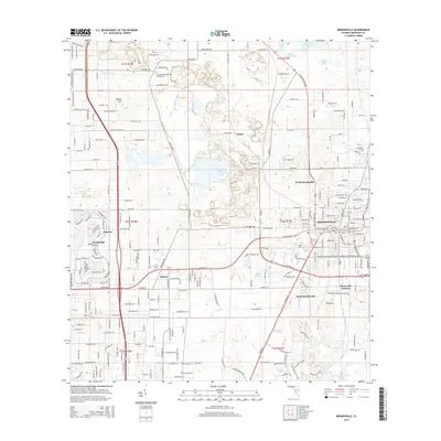
2015 Map of Brooksville
USGS Topo · Published 2015About this map
Brooksville serves as the focal point of this 2015 survey, surrounded by satellite communities like North Brooksville, South Brooksville, and Wiscon. The landscape is a complex mix of modern residential development and industrial history, evidenced by Cement Plant Rd and Hard Rock Rd leading toward the limestone-rich terrain north of the city. Notable for genealogists is the Community Baptist Cem located off Centralia Rd. The area's natural hydrology is still prominent, with Horse Lake, Willow Prairie Lake, and Simmons Prairie Lake dotting the karst topography. Further west, the map details the layout of Brookridge and Norman, while Tooke Lake Junction marks a distinct crossroads in the southeast. These labels provide a clear view of the expanding suburban footprint into the limestone mining and ranching lands of Hernando County.
Find a feature on this map
244 named features on this map. Tap any name to fly to it.
Don’t see what you’re looking for? This feature index may not catch every label — zoom into the map to look around manually.
Map Details
Editions of this 2015 Brooksville Map
This is the sole edition of this map. No revisions or reprints were ever made.
Other maps of this area

1954 · Spring Lake
USGS Topo · 1:24,000

1954 · Brooksville NW
USGS Topo · 1:24,000

1954 · Nobleton
USGS Topo · 1:24,000

1954 · Brooksville
USGS Topo · 1:24,000

1954 · Chassahowitzka
USGS Topo · 1:24,000

1954 · Masaryktown
USGS Topo · 1:24,000

1954 · Brooksville SE
USGS Topo · 1:24,000

1954 · Weekiwachee Springs
USGS Topo · 1:24,000

1954 · Port Richey NE
USGS Topo · 1:24,000

1955 · Plant City
USGS Topo · 1:250,000