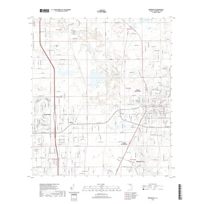
2018 Map of Brooksville
USGS Topo · Published 2018About this map
Brooksville serves as the focal point of this Hernando County landscape, showing the expansion of residential and commercial corridors toward the west and north. The area is characterized by a mix of established neighborhoods and specialized communities like Brookridge and Wiscon, which sit along major thoroughfares such as Grove Rd and Cortez Blvd. North of the main settlement, the terrain rises toward Bailey Hill, while the northern reaches transitions into a more hydrologically diverse environment featuring Simmons Prairie Lake, Willow Prairie Lake, and Rock Pond. This 2018 survey captures the modern road network in detail, including family-named landmarks and local centers of worship like the Community Baptist Church and its adjacent Cemetery. Smaller pockets like Camps and the distinct sectors of North Brooksville and South Brooksville reflect the area's ongoing suburbanization and community development.
Find a feature on this map
263 named features on this map. Tap any name to fly to it.
Don’t see what you’re looking for? This feature index may not catch every label — zoom into the map to look around manually.
Map Details
Editions of this 2018 Brooksville Map
This is the sole edition of this map. No revisions or reprints were ever made.
Other maps of this area

1954 · Spring Lake
USGS Topo · 1:24,000

1954 · Brooksville NW
USGS Topo · 1:24,000

1954 · Nobleton
USGS Topo · 1:24,000

1954 · Brooksville
USGS Topo · 1:24,000

1954 · Chassahowitzka
USGS Topo · 1:24,000

1954 · Masaryktown
USGS Topo · 1:24,000

1954 · Brooksville SE
USGS Topo · 1:24,000

1954 · Weekiwachee Springs
USGS Topo · 1:24,000

1954 · Port Richey NE
USGS Topo · 1:24,000

1955 · Plant City
USGS Topo · 1:250,000