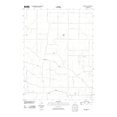
2010 Map of Brookville
USGS Topo · Published 2010About this map
Brookville and Bernhart serve as the primary landmarks in this section of Jefferson County, where the landscape is organized into a precise grid of rural roads and agricultural plots. The area is notable for its high density of family and community burial grounds, preserving local names such as the Myers Cemetery, Brooks Cemetery, Moorrian Cemetery, and Gantz Cemetery. These sites are distributed across the countryside, often located near the winding courses of Church Creek and Mitchell Creek.
Find a feature on this map
49 named features on this map. Tap any name to fly to it.
Don’t see what you’re looking for? This feature index may not catch every label — zoom into the map to look around manually.
Map Details
Editions of this 2010 Brookville Map
This is the sole edition of this map. No revisions or reprints were ever made.
Other maps of this area

1954 · Centerville
USGS Topo · 1:250,000

1954 · Des Moines
USGS Topo · 1:250,000

1956 · Des Moines
USGS Topo · 1:250,000

1957 · Des Moines
USGS Topo · 1:250,000

1957 · Centerville
USGS Topo · 1:250,000

1958 · Centerville
USGS Topo · 1:250,000

1958 · Burlington
USGS Topo · 1:250,000

1958 · Davenport
USGS Topo · 1:250,000

1961 · Burlington
USGS Topo · 1:250,000

1961 · Davenport
USGS Topo · 1:250,000