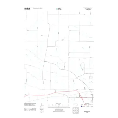
2013 Map of Brookville
USGS Topo · Published 2013About this map
Brookville and Bernhart serve as the primary focal points of this Jefferson County survey, which illustrates the agricultural landscape of southeastern Iowa in the early 21st century. The geography is defined by a dense network of drainage systems, including the branching paths of Church Cr and Mitchell Cr, which meander through sections of farmland. A notable transportation landmark is Middlekoop Airport, situated just north of the central east-west corridor of 155th Street. The map's layout reflects the persistent grid of rural township roads, occasionally interrupted by the larger thoroughfares of Brookville Rd and Highway 34. Local water features like Cedar Cr and Competine Cr border the southern reaches, providing a clear view of the natural hydrology that shaped the area's development and land use patterns.
Find a feature on this map
61 named features on this map. Tap any name to fly to it.
Don’t see what you’re looking for? This feature index may not catch every label — zoom into the map to look around manually.
Map Details
Editions of this 2013 Brookville Map
This is the sole edition of this map. No revisions or reprints were ever made.
Other maps of this area

1954 · Centerville
USGS Topo · 1:250,000

1954 · Des Moines
USGS Topo · 1:250,000

1956 · Des Moines
USGS Topo · 1:250,000

1957 · Des Moines
USGS Topo · 1:250,000

1957 · Centerville
USGS Topo · 1:250,000

1958 · Centerville
USGS Topo · 1:250,000

1958 · Burlington
USGS Topo · 1:250,000

1958 · Davenport
USGS Topo · 1:250,000

1961 · Burlington
USGS Topo · 1:250,000

1961 · Davenport
USGS Topo · 1:250,000