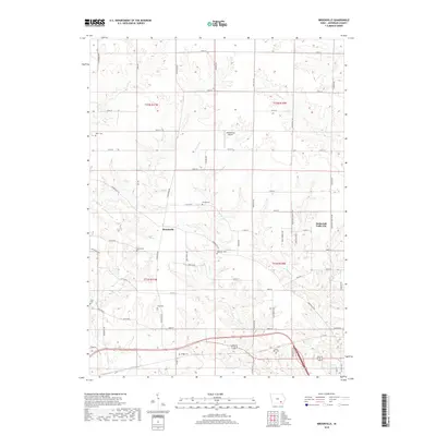
2018 Map of Brookville
USGS Topo · Published 2018About this map
Brookville and the unique planned community of Maharishi Vedic City anchor this portion of Jefferson County, Iowa. The landscape is defined by the regular grid of rural section lines and a significant number of family and community burial grounds, reflecting the deep agricultural roots of the region. Genealogists can find several notable sites including Myers Cem, Gantz Cem, and Moorman Cem scattered among the farmsteads. The terrain is dissected by numerous waterways such as Church Cr and Cedar Cr, which cut through the fertile till plains. Industrial and transit features are relatively sparse, though Middlekoop Airport provides a local aviation link. The settlement pattern here demonstrates a blend of traditional Iowa township development alongside modern intentional community planning near the eastern edge of the survey.
Find a feature on this map
63 named features on this map. Tap any name to fly to it.
Don’t see what you’re looking for? This feature index may not catch every label — zoom into the map to look around manually.
Map Details
Editions of this 2018 Brookville Map
This is the sole edition of this map. No revisions or reprints were ever made.
Other maps of this area

1954 · Centerville
USGS Topo · 1:250,000

1954 · Des Moines
USGS Topo · 1:250,000

1956 · Des Moines
USGS Topo · 1:250,000

1957 · Des Moines
USGS Topo · 1:250,000

1957 · Centerville
USGS Topo · 1:250,000

1958 · Centerville
USGS Topo · 1:250,000

1958 · Burlington
USGS Topo · 1:250,000

1958 · Davenport
USGS Topo · 1:250,000

1961 · Burlington
USGS Topo · 1:250,000

1961 · Davenport
USGS Topo · 1:250,000