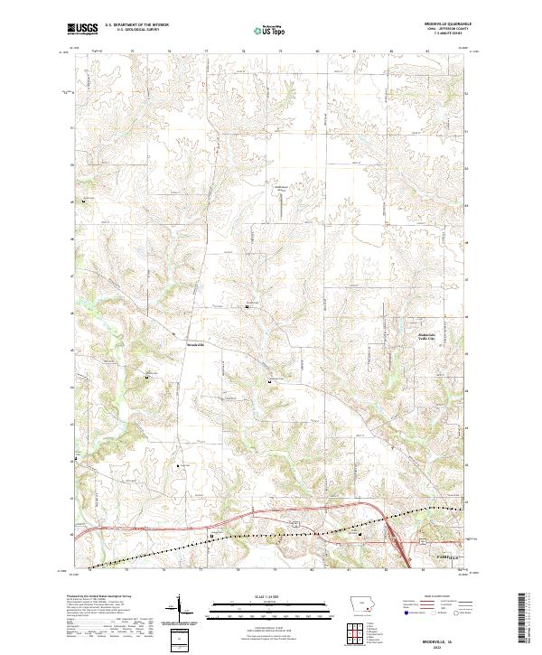
2022 Map of Brookville
USGS Topo · Published 2022About this map
The unincorporated community of Brookville serves as the namesake for this 2022 topographical study of Jefferson County, Iowa. The landscape is defined by a dense network of family-named cemeteries and rural roads that delineate the local genealogy, including Myers Cem, Gantz Cem, and Moorman Cem. These sites are scattered across the headwaters of Church Cr and Mitchell Cr, reflecting a settlement pattern deeply tied to the township and range grid system.
Find a feature on this map
68 named features on this map. Tap any name to fly to it.
Don’t see what you’re looking for? This feature index may not catch every label — zoom into the map to look around manually.
Map Details
Editions of this 2022 Brookville Map
This is the sole edition of this map. No revisions or reprints were ever made.
Other maps of this area

1954 · Centerville
USGS Topo · 1:250,000

1954 · Des Moines
USGS Topo · 1:250,000

1956 · Des Moines
USGS Topo · 1:250,000

1957 · Des Moines
USGS Topo · 1:250,000

1957 · Centerville
USGS Topo · 1:250,000

1958 · Centerville
USGS Topo · 1:250,000

1958 · Burlington
USGS Topo · 1:250,000

1958 · Davenport
USGS Topo · 1:250,000

1961 · Burlington
USGS Topo · 1:250,000

1961 · Davenport
USGS Topo · 1:250,000