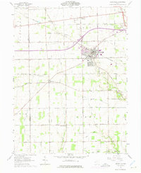
1961 Map of Brookville
USGS Topo · Published 1975About this map
Agricultural patterns and small-town growth characterize this portion of Montgomery and Preble Counties during the early 1960s. The village of Brookville serves as the central hub, situated along the Penn Central rail line and the newly established Interstate 70 corridor. The landscape is dotted with small rural communities and historic gathering places like Arlington, Pyrmont, and Bachman.
Find a feature on this map
52 named features on this map. Tap any name to fly to it.
Don’t see what you’re looking for? This feature index may not catch every label — zoom into the map to look around manually.
Map Details
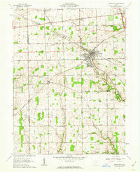
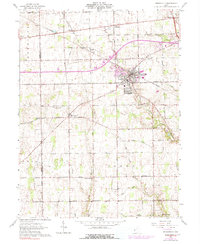
Editions of this 1961 Brookville Map
Other maps of this area

1905 · Brookville
USGS Topo · 1:62,500

1908 · Miamisburg
USGS Topo · 1:62,500

1911 · Oxford
USGS Topo · 1:62,500

1953 · Cincinnati
USGS Topo · 1:250,000

1955 · Miamisburg
USGS Topo · 1:24,000

1955 · West Milton
USGS Topo · 1:24,000
1955 · Trotwood
USGS Topo · 1:24,000

1957 · Cincinnati
USGS Topo · 1:250,000

1960 · Farmersville
USGS Topo · 1:24,000

1961 · Laura
USGS Topo · 1:24,000