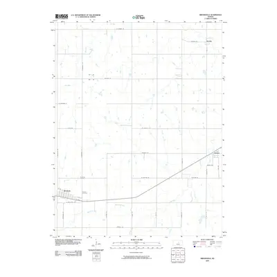
2009 Map of Brookville
USGS Topo · Published 2009About this map
Brookville serves as the primary hub in this central Kansas landscape, where the grid of county roads meets the diagonal path of the railway corridor. This 2009 survey by the U.S. Geological Survey captures the agricultural character of the region, anchored by small settlements like Bavaria and Hedville. The township layout is clearly defined by routes such as W State St and S Hedville Rd, which navigate around the natural drainage of Eff Creek and West Spring Creek. Local history is preserved at the Brookville Cemetery and Calvary Cemetery, both located north of the town center. The map reveals how the modern transportation network, including roads like Magnolia Rd and Powers Rd, continues to follow the sectional lines established during the early settlement of Saline County.
Find a feature on this map
35 named features on this map. Tap any name to fly to it.
Don’t see what you’re looking for? This feature index may not catch every label — zoom into the map to look around manually.
Map Details
Editions of this 2009 Brookville Map
This is the sole edition of this map. No revisions or reprints were ever made.
Other maps of this area

1892 · Salina
USGS Topo · 1:125,000

1942 · Salina
USGS Topo · 1:125,000

1955 · Salina SW
USGS Topo · 1:24,000

1955 · Trenton
USGS Topo · 1:24,000

1955 · Smolan
USGS Topo · 1:24,000

1955 · Brookville
USGS Topo · 1:24,000

1955 · Culver
USGS Topo · 1:24,000

1955 · Falun
USGS Topo · 1:24,000

1955 · Hutchinson
USGS Topo · 1:250,000

1957 · Brookville SW
USGS Topo · 1:24,000