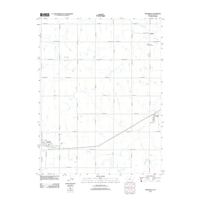
2012 Map of Brookville
USGS Topo · Published 2012About this map
The railroad community of Brookville anchors this western Saline County landscape, where the township grid meets the winding courses of several plains tributaries. The town site is clearly defined by its street grid, featuring Calvary Cem on its eastern edge and a central Po serving the local population. Further east, the settlement of Bavaria sits along the rail line and Schilling Rd, while Hedville marks the northeastern portion of the survey.
Find a feature on this map
58 named features on this map. Tap any name to fly to it.
Don’t see what you’re looking for? This feature index may not catch every label — zoom into the map to look around manually.
Map Details
Editions of this 2012 Brookville Map
This is the sole edition of this map. No revisions or reprints were ever made.
Other maps of this area

1892 · Salina
USGS Topo · 1:125,000

1942 · Salina
USGS Topo · 1:125,000

1955 · Salina SW
USGS Topo · 1:24,000

1955 · Trenton
USGS Topo · 1:24,000

1955 · Smolan
USGS Topo · 1:24,000

1955 · Brookville
USGS Topo · 1:24,000

1955 · Culver
USGS Topo · 1:24,000

1955 · Falun
USGS Topo · 1:24,000

1955 · Hutchinson
USGS Topo · 1:250,000

1957 · Brookville SW
USGS Topo · 1:24,000