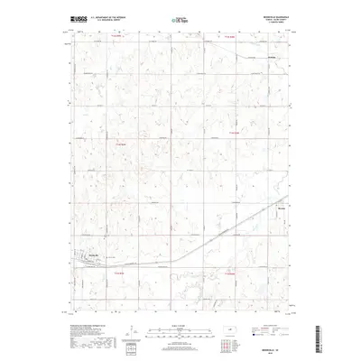
2018 Map of Brookville
USGS Topo · Published 2018About this map
Brookville and its surrounding agricultural plains in Saline County are defined by a grid of rural roads and the legacy of the western Kansas transport corridors. The settlement pattern here is anchored by the presence of Brookville Cem and Calvary Cem, which serve as vital points for genealogical research in this township. The landscape is drained by several meandering watercourses, including Spring Cr, W Spring Cr, and Mulberry Cr to the north, which cut through the surveyed sections of the Smoky Hill River valley region.
Find a feature on this map
57 named features on this map. Tap any name to fly to it.
Don’t see what you’re looking for? This feature index may not catch every label — zoom into the map to look around manually.
Map Details
Editions of this 2018 Brookville Map
This is the sole edition of this map. No revisions or reprints were ever made.
Other maps of this area

1892 · Salina
USGS Topo · 1:125,000

1942 · Salina
USGS Topo · 1:125,000

1955 · Salina SW
USGS Topo · 1:24,000

1955 · Trenton
USGS Topo · 1:24,000

1955 · Smolan
USGS Topo · 1:24,000

1955 · Brookville
USGS Topo · 1:24,000

1955 · Culver
USGS Topo · 1:24,000

1955 · Falun
USGS Topo · 1:24,000

1955 · Hutchinson
USGS Topo · 1:250,000

1957 · Brookville SW
USGS Topo · 1:24,000