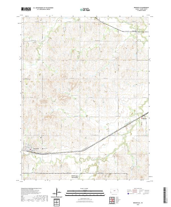
2022 Map of Brookville
USGS Topo · Published 2022About this map
Brookville serves as the primary hub of this Saline County landscape, where the local road network and historical sites converge near the banks of Spring Cr. The town is flanked by significant local burial grounds, including Brookville Cem to the north and Calvary Cem just east of the settlement. The layout of the region is defined by a rhythmic section-line grid, where routes like W State St and Magnolia Rd cut across the drainage basins of Eff Cr and Mulberry Cr. To the northeast and southeast, the smaller outposts of Hedville and Bavaria anchor their respective corners of the quadrangle. The path of W Old Highway 40 mirrors the modern transportation corridor, providing a clear view of the historical connection between these rural communities and the larger Kansas prairie beyond.
Find a feature on this map
33 named features on this map. Tap any name to fly to it.
Don’t see what you’re looking for? This feature index may not catch every label — zoom into the map to look around manually.
Map Details
Editions of this 2022 Brookville Map
This is the sole edition of this map. No revisions or reprints were ever made.
Other maps of this area

1892 · Salina
USGS Topo · 1:125,000

1942 · Salina
USGS Topo · 1:125,000

1955 · Salina SW
USGS Topo · 1:24,000

1955 · Trenton
USGS Topo · 1:24,000

1955 · Smolan
USGS Topo · 1:24,000

1955 · Brookville
USGS Topo · 1:24,000

1955 · Culver
USGS Topo · 1:24,000

1955 · Falun
USGS Topo · 1:24,000

1955 · Hutchinson
USGS Topo · 1:250,000

1957 · Brookville SW
USGS Topo · 1:24,000