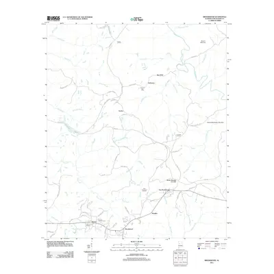
2011 Map of Brookwood
USGS Topo · Published 2011About this map
The town of Brookwood and its surrounding communities in Tuscaloosa County are defined by a network of creek valleys and ridges, including Martha Washington Mountain and Round Mountain. In the early 21st century, the landscape reflects a mix of established mining-related settlements and industrial infrastructure. Notable locations like Kellerman, which retains its Kellerman Post Office, and Searles are connected by a complex system of local roads and heavy-duty paths such as Haul Rd.
Find a feature on this map
71 named features on this map. Tap any name to fly to it.
Don’t see what you’re looking for? This feature index may not catch every label — zoom into the map to look around manually.
Map Details
Editions of this 2011 Brookwood Map
This is the sole edition of this map. No revisions or reprints were ever made.
Other maps of this area

1899 · Brookwood
USGS Topo · 1:125,000

1927 · Adger
USGS Topo · 1:48,000

1929 · Searles
USGS Topo · 1:48,000

1931 · Cottondale
USGS Topo · 1:48,000

1932 · Yolande
USGS Topo · 1:62,500

1934 · Searles
USGS Topo · 1:62,500

1934 · Cottondale
USGS Topo · 1:62,500

1934 · Blocton
USGS Topo · 1:48,000

1935 · Yolande
USGS Topo · 1:62,500

1940 · Blocton
USGS Topo · 1:62,500