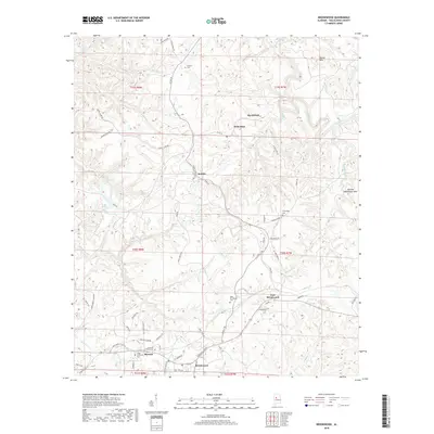
2018 Map of Brookwood
USGS Topo · Published 2018About this map
Brookwood and its neighboring mining-era communities sit within a complex landscape of creek valleys and ridges in Tuscaloosa County. The area is defined by the winding course of Davis Creek and Daniel Cr, which carve through the terrain between heights like Martha Washington Mtn and Round Mtn. This late 2010s survey shows the established footprint of Searles, Kellerman, and Burchfield north of the main Brookwood hub.
Find a feature on this map
75 named features on this map. Tap any name to fly to it.
Don’t see what you’re looking for? This feature index may not catch every label — zoom into the map to look around manually.
Map Details
Editions of this 2018 Brookwood Map
This is the sole edition of this map. No revisions or reprints were ever made.
Other maps of this area

1899 · Brookwood
USGS Topo · 1:125,000

1927 · Adger
USGS Topo · 1:48,000

1929 · Searles
USGS Topo · 1:48,000

1931 · Cottondale
USGS Topo · 1:48,000

1932 · Yolande
USGS Topo · 1:62,500

1934 · Searles
USGS Topo · 1:62,500

1934 · Cottondale
USGS Topo · 1:62,500

1934 · Blocton
USGS Topo · 1:48,000

1935 · Yolande
USGS Topo · 1:62,500

1940 · Blocton
USGS Topo · 1:62,500