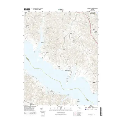
2016 Map of Broomes Island
USGS Topo · Published 2016About this map
Broomes Island sits at the confluence of the Patuxent R and its numerous creeks and coves, illustrating a landscape defined by tidewater geography. The map documents a network of landings and wharves, such as Parker Wharf and Williams Wharf, which historically served as vital maritime links for Calvert County's agricultural interior. This 2016 record shows the enduring footprint of rural settlements like Mutual and Saint Leonard, where legacy institutions such as Christ Church and its associated Christ Church Cem remain focal points of the community.
Find a feature on this map
123 named features on this map. Tap any name to fly to it.
Don’t see what you’re looking for? This feature index may not catch every label — zoom into the map to look around manually.
Map Details
Editions of this 2016 Broomes Island Map
This is the sole edition of this map. No revisions or reprints were ever made.
Other maps of this area

1892 · Leonardtown
USGS Topo · 1:62,500

1892 · Drum Point
USGS Topo · 1:62,500

1892 · Prince Frederick
USGS Topo · 1:62,500
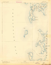
1893 · Sharps Island
USGS Topo · 1:62,500

1895 · Prince Frederick
USGS Topo · 1:62,500

1895 · Leonardtown
USGS Topo · 1:62,500

1895 · Nomini
USGS Topo · 1:125,000

1898 · Choptank
USGS Topo · 1:125,000

1898 · Nomini
USGS Topo · 1:125,000

1898 · St. Marys
USGS Topo · 1:125,000