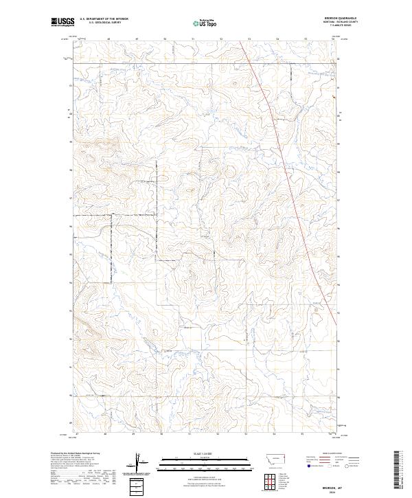
2024 Map of Brorson
USGS Topo · Published 2024About this map
Main Hay Creek and its various tributaries define this section of Richland County, cutting through the high plains landscape to create a complex drainage network. The terrain is structured by a grid of county roads, including Co RD 341 and Co RD 342, which trace the township and range boundaries that have governed Montana land divisions since the original surveys. In the southern portion of the sheet, the headwaters of Brorson Creek and North Fork Lone Tree Creek begin their descent, illustrating the subtle but important divide between local watersheds.
Find a feature on this map
19 named features on this map. Tap any name to fly to it.
Don’t see what you’re looking for? This feature index may not catch every label — zoom into the map to look around manually.
Map Details
Editions of this 2024 Brorson Map
This is the sole edition of this map. No revisions or reprints were ever made.
Other maps of this area

1909 · Glendive
USGS Topo · 1:250,000

1954 · Glendive
USGS Topo · 1:250,000

1957 · Glendive
USGS Topo · 1:250,000

1958 · Glendive
USGS Topo · 1:250,000

1966 · Crane NE
USGS Topo · 1:24,000

1966 · Crane NW
USGS Topo · 1:24,000

1966 · Sidney
USGS Topo · 1:24,000

1972 · Brorson
USGS Topo · 1:24,000

1972 · Girard
USGS Topo · 1:24,000
1972 · Fairview NW
USGS Topo · 1:24,000