
1972 Map of Girard
USGS Topo · Published 1975About this map
Girard serves as the primary landmark in this section of Richland County, situated in a high prairie landscape defined by a complex network of intermittent watercourses. The drainage patterns of Lone Tree Creek and its North Fork dominate the central and southern portions of the terrain, while the northern sections are carved by the headwaters of Main Hay Creek and First Hay Creek. Evidence of mid-century industrial activity is scattered across the township lines, indicated by several Oil Well sites and a drill hole that point to the region's mineral exploration history. The presence of a Gravel Pit and numerous wells further illustrates the practical development of this rural Montana landscape during the early 1970s. This survey, based on 1971 aerial photography, provides a precise record of property divisions and the winding course of Hardscrabble Cr along the northern boundary.
Find a feature on this map
13 named features on this map. Tap any name to fly to it.
Don’t see what you’re looking for? This feature index may not catch every label — zoom into the map to look around manually.
Map Details
Editions of this 1972 Girard Map
This is the sole edition of this map. No revisions or reprints were ever made.
Other maps of this area

1909 · Glendive
USGS Topo · 1:250,000

1954 · Glendive
USGS Topo · 1:250,000

1957 · Glendive
USGS Topo · 1:250,000

1958 · Glendive
USGS Topo · 1:250,000

1966 · Crane NE
USGS Topo · 1:24,000

1966 · Crane NW
USGS Topo · 1:24,000

1972 · Brorson
USGS Topo · 1:24,000
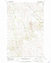
1972 · Blue Hill
USGS Topo · 1:24,000
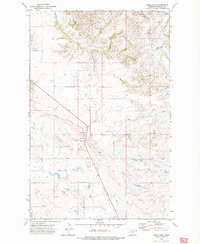
1972 · Sioux Pass
USGS Topo · 1:24,000

1972 · Lambert
USGS Topo · 1:24,000