
1972 Map of Lambert
USGS Topo · Published 1975About this map
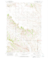
Lambert serves as the primary hub of this eastern Montana landscape, situated at the junction of rail and roadway. During the early 1970s, the town's orientation toward the Burlington Northern railroad remains clear, with a dedicated Water Tank and local service structures defining the settlement. The town is bordered by the winding path of Fox Creek, which carves through the undulating prairie to the east.
Find a feature on this map
8 named features on this map. Tap any name to fly to it.
Don’t see what you’re looking for? This feature index may not catch every label — zoom into the map to look around manually.
Map Details
Editions of this 1972 Lambert Map
This is the sole edition of this map. No revisions or reprints were ever made.
Other maps of this area

1909 · Glendive
USGS Topo · 1:250,000

1954 · Glendive
USGS Topo · 1:250,000

1957 · Glendive
USGS Topo · 1:250,000

1958 · Glendive
USGS Topo · 1:250,000

1966 · Crane NW
USGS Topo · 1:24,000

1966 · Larson School
USGS Topo · 1:24,000

1972 · Butler Table
USGS Topo · 1:24,000

1972 · Girard
USGS Topo · 1:24,000

1972 · Fox Lake
USGS Topo · 1:24,000
1972 · Mc Cone Heights
USGS Topo · 1:24,000