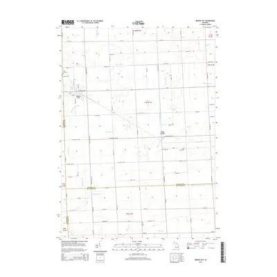
2014 Map of Brown City
USGS Topo · Published 2014About this map
Brown City serves as the primary hub in this portion of Michigan, where the intersections of Lapeer, Sanilac, and St. Clair counties meet. The landscape is defined by an extensive system of agricultural drainage, including the Lapeer and Sanilac Drain and the Witmer Drain, which manage water flow toward Elk Cr and the North Br Mill Cr. These features illustrate the managed nature of the local terrain, crucial for the region's farming heritage. Smaller settlements like Valley Center appear in the eastern sections, surrounded by local landmarks such as Evergreen Cem and Saint Marys Cem. The map provides a detailed view of the section lines and rural road networks, like W Galbraith Line Rd and Yale Rd, that have shaped the township boundaries and property divisions of this multi-county borderland.
Find a feature on this map
53 named features on this map. Tap any name to fly to it.
Don’t see what you’re looking for? This feature index may not catch every label — zoom into the map to look around manually.
Map Details
Editions of this 2014 Brown City Map
This is the sole edition of this map. No revisions or reprints were ever made.
Other maps of this area

1954 · Flint
USGS Topo · 1:250,000

1958 · Flint
USGS Topo · 1:250,000

1961 · Brown City
USGS Topo · 1:24,000
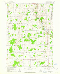
1961 · Brockway
USGS Topo · 1:24,000

1961 · Yale
USGS Topo · 1:24,000
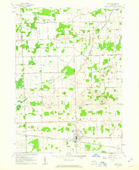
1961 · Capac
USGS Topo · 1:24,000

1963 · Peck
USGS Topo · 1:24,000

1963 · Juhl
USGS Topo · 1:24,000

1963 · Marlette
USGS Topo · 1:24,000

1963 · Burnside
USGS Topo · 1:24,000