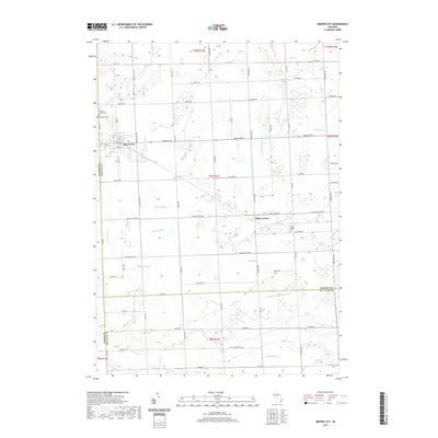
2019 Map of Brown City
USGS Topo · Published 2019About this map
Brown City serves as the primary municipal hub in this landscape along the border of Lapeer and Sanilac counties. The area is characterized by an extensive system of engineered waterways, including the Setter Drain, Elk Flynn and Maple Valley Drain, and Lapeer and Sanilac Drain, which managed the drainage across this agricultural territory. To the southeast, the small settlement of Valley Center is situated near the Valley Center Cem and the E Br Speaker and Maple Valley Drain. Local history is anchored by several sites of interment, such as Sacred Heart Cem and Evergreen Cem near the main town site. The map captures a well-defined grid of local thoroughfares like Stiles Rd and Galbraith Line Rd that delineate the rural sections of these Michigan townships.
Find a feature on this map
77 named features on this map. Tap any name to fly to it.
Don’t see what you’re looking for? This feature index may not catch every label — zoom into the map to look around manually.
Map Details
Editions of this 2019 Brown City Map
This is the sole edition of this map. No revisions or reprints were ever made.
Other maps of this area

1954 · Flint
USGS Topo · 1:250,000

1958 · Flint
USGS Topo · 1:250,000

1961 · Brown City
USGS Topo · 1:24,000
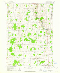
1961 · Brockway
USGS Topo · 1:24,000

1961 · Yale
USGS Topo · 1:24,000
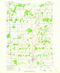
1961 · Capac
USGS Topo · 1:24,000

1963 · Peck
USGS Topo · 1:24,000

1963 · Juhl
USGS Topo · 1:24,000

1963 · Marlette
USGS Topo · 1:24,000

1963 · Burnside
USGS Topo · 1:24,000