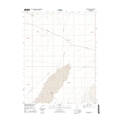
2014 Map of Brown Knoll
USGS Topo · Published 2014About this map
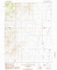
Wah Wah Valley Hardpan dominates the southern landscape of this Millard County quadrangle, illustrating the hydrological patterns of the eastern Great Basin. The terrain is characterized by broad basins and isolated heights like Brown Knoll and the Black Hills, where seasonal water management is evidenced by the E Hardpan Reservoir and Nielson Pond. This arid region relies on a sparse network of desert routes, including Crystal Peak Rd and Wah Wah Valley Rd, which facilitate movement across the wide Wah Wah Valley. The map detail captures a specific moment in the management of these remote public lands, showing the section lines and township boundaries that define the modern Western range.
Find a feature on this map
13 named features on this map. Tap any name to fly to it.
Don’t see what you’re looking for? This feature index may not catch every label — zoom into the map to look around manually.
Map Details
Editions of this 2014 Brown Knoll Map
This is the sole edition of this map. No revisions or reprints were ever made.
Other maps of this area

1953 · Richfield
USGS Topo · 1:250,000

1958 · Richfield
USGS Topo · 1:250,000

1960 · Frisco Peak
USGS Topo · 1:62,500

1960 · Beaver Lake Mts.
USGS Topo · 1:62,500

1960 · The Barn
USGS Topo · 1:62,500
1972 · Sevier Lake SW
USGS Topo · 1:24,000

1980 · Wah Wah Mts. North
USGS Topo · 1:100,000
1989 · High Rock
USGS Topo · 1:24,000
1989 · Frisco Peak
USGS Topo · 1:24,000
1989 · Wah Wah Cove
USGS Topo · 1:24,000