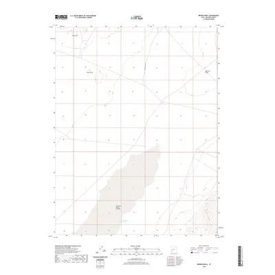
2020 Map of Brown Knoll
USGS Topo · Published 2020About this map
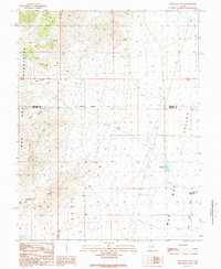
Wah Wah Valley Hardpan dominates the southern basin of this Millard County landscape, representing a significant topographical depression where water periodically collects. The arid character of the region is punctuated by the East Hardpan Reservoir, a crucial point of water management in a desert environment primarily defined by the broad Wah Wah Valley. To the north, the terrain rises toward the Black Hills and the distinct summit of Brown Knoll, which provides a high-ground landmark overlooking the valley floor. Transportation through this remote section of Utah is limited to narrow tracks like Steamboat Pass Rd, highlighting the sparse infrastructure and the isolation of the Great Basin terrain as it appeared in the early 21st century.
Find a feature on this map
6 named features on this map. Tap any name to fly to it.
Don’t see what you’re looking for? This feature index may not catch every label — zoom into the map to look around manually.
Map Details
Editions of this 2020 Brown Knoll Map
This is the sole edition of this map. No revisions or reprints were ever made.
Other maps of this area

1953 · Richfield
USGS Topo · 1:250,000

1958 · Richfield
USGS Topo · 1:250,000

1960 · Frisco Peak
USGS Topo · 1:62,500

1960 · Beaver Lake Mts.
USGS Topo · 1:62,500

1960 · The Barn
USGS Topo · 1:62,500
1972 · Sevier Lake SW
USGS Topo · 1:24,000

1980 · Wah Wah Mts. North
USGS Topo · 1:100,000
1989 · High Rock
USGS Topo · 1:24,000
1989 · Frisco Peak
USGS Topo · 1:24,000
1989 · Wah Wah Cove
USGS Topo · 1:24,000