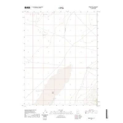
2023 Map of Brown Knoll
USGS Topo · Published 2023About this map
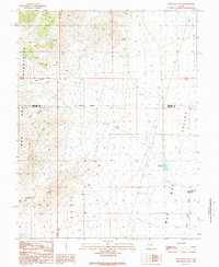
Wah Wah Valley dominates this arid landscape, characterized by the expansive Wah Wah Valley Hardpan stretching through the central and southern portions of the terrain. The topography is defined by isolation and high-desert drainage patterns, with the volcanic-formed Brown Knoll and the Black Hills rising above the basin floor. Water management in this dry environment is evident through several localized catchment features, including East Hardpan Reservoir situated directly on the playa, as well as Horsetrap Reservoir and Nielson Pond located further north and east. The only major transit corridor shown is Steamboat Pass Rd, which cuts north-south across the high desert, providing access through this sparsely developed section of the Great Basin.
Find a feature on this map
8 named features on this map. Tap any name to fly to it.
Don’t see what you’re looking for? This feature index may not catch every label — zoom into the map to look around manually.
Map Details
Editions of this 2023 Brown Knoll Map
This is the sole edition of this map. No revisions or reprints were ever made.
Other maps of this area

1953 · Richfield
USGS Topo · 1:250,000

1958 · Richfield
USGS Topo · 1:250,000

1960 · Frisco Peak
USGS Topo · 1:62,500

1960 · Beaver Lake Mts.
USGS Topo · 1:62,500

1960 · The Barn
USGS Topo · 1:62,500
1972 · Sevier Lake SW
USGS Topo · 1:24,000

1980 · Wah Wah Mts. North
USGS Topo · 1:100,000
1989 · High Rock
USGS Topo · 1:24,000
1989 · Frisco Peak
USGS Topo · 1:24,000
1989 · Wah Wah Cove
USGS Topo · 1:24,000