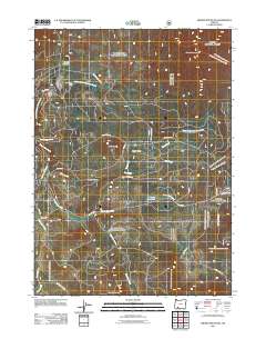
2011 Map of Brown Mountain
USGS Topo · Published 2011About this map
South Fork Little Butte Creek and its network of tributaries, including Pole Bridge Creek and Beaver Dam Creek, define the water management and drainage of this Cascade Range landscape. The terrain is characterized by high-elevation features such as Brown Mountain and Brush Mountain, interspersed with open spaces like Big Elk Meadow and Daley Prairie. Small-scale water infrastructure is present throughout the area, evidenced by the South Fork Dam, Daley Creek Dam, and Manley Reservoir, which likely serve local irrigation or forestry needs.
Find a feature on this map
31 named features on this map. Tap any name to fly to it.
Don’t see what you’re looking for? This feature index may not catch every label — zoom into the map to look around manually.
Map Details
Editions of this 2011 Brown Mountain Map
This is the sole edition of this map. No revisions or reprints were ever made.
Other maps of this area

1891 · Ashland
USGS Topo · 1:250,000

1893 · Ashland
USGS Topo · 1:250,000

1897 · Ashland
USGS Topo · 1:250,000

1955 · Lake O' Woods
USGS Topo · 1:62,500

1955 · Surveyor Mtn
USGS Topo · 1:62,500

1955 · Hyatt Reservoir
USGS Topo · 1:62,500

1955 · Mt. Mc Loughlin
USGS Topo · 1:62,500

1955 · Medford
USGS Topo · 1:250,000

1957 · Medford
USGS Topo · 1:250,000

1958 · Medford
USGS Topo · 1:250,000