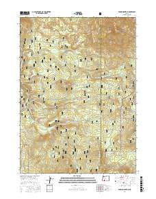
2017 Map of Brown Mountain
USGS Topo · Published 2017About this map
Brown Mountain dominates the high-elevation terrain along the border of Jackson and Klamath counties, anchoring a landscape shaped by volcanic peaks and alpine meadows. The eastern half of the survey area is traversed by the Pacific Crest National Scenic Trail, which winds past Old Baldy and the northern slopes of the main peak. This portion of the Cascade Range is divided between the Rogue River National Forest and the Winema National Forest, with the high-altitude Daley Prairie and Manley Reservoir serving as central landmarks. Significant drainage systems like S Fork Little Butte Cr and Daley Cr flow through the timbered slopes, while a network of forest roads including Dead Indian Memorial Rd and Brown Mountain Rd provide access to remote points like Cox Butte and Brush Mtn.
Find a feature on this map
40 named features on this map. Tap any name to fly to it.
Don’t see what you’re looking for? This feature index may not catch every label — zoom into the map to look around manually.
Map Details
Editions of this 2017 Brown Mountain Map
This is the sole edition of this map. No revisions or reprints were ever made.
Other maps of this area

1891 · Ashland
USGS Topo · 1:250,000

1893 · Ashland
USGS Topo · 1:250,000

1897 · Ashland
USGS Topo · 1:250,000

1955 · Lake O' Woods
USGS Topo · 1:62,500

1955 · Surveyor Mtn
USGS Topo · 1:62,500

1955 · Hyatt Reservoir
USGS Topo · 1:62,500

1955 · Mt. Mc Loughlin
USGS Topo · 1:62,500

1955 · Medford
USGS Topo · 1:250,000

1957 · Medford
USGS Topo · 1:250,000

1958 · Medford
USGS Topo · 1:250,000