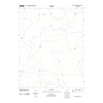
2010 Map of Brown Sheep Camp
USGS Topo · Published 2010About this map
Brown Sheep Camp and Burson Camp anchor this arid landscape in Las Animas County, where human presence is primarily defined by ranching infrastructure and seasonal watercourses. The map documents a sophisticated network of named water-pumping sites, including Pasture Number 1 Windmill, Joella Windmill, and Dial Windmill, which reflect the necessity of managed water sources in this dry expanse. These features provide a valuable record of land use and property management in southern Colorado during the early 21st century.
Find a feature on this map
15 named features on this map. Tap any name to fly to it.
Don’t see what you’re looking for? This feature index may not catch every label — zoom into the map to look around manually.
Map Details
Editions of this 2010 Brown Sheep Camp Map
This is the sole edition of this map. No revisions or reprints were ever made.
Other maps of this area

1891 · Timpas
USGS Topo · 1:125,000

1891 · Apishapa
USGS Topo · 1:125,000

1891 · Mesa De Maya
USGS Topo · 1:125,000

1892 · Elmoro
USGS Topo · 1:125,000

1893 · Apishapa
USGS Topo · 1:125,000

1893 · Elmoro
USGS Topo · 1:125,000

1893 · Mesa de Maya
USGS Topo · 1:125,000

1894 · Timpas
USGS Topo · 1:125,000

1897 · Elmoro
USGS Topo · 1:125,000

1897 · Apishapa
USGS Topo · 1:125,000