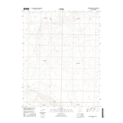
2016 Map of Brown Sheep Camp
USGS Topo · Published 2016About this map
Brown Sheep Camp serves as a lone human waypoint in this high-plains landscape of Las Animas County. The terrain is defined by a series of north-to-south drainage patterns, including the extensive Van Bremer Arroyo and Big Arroyo. These seasonal watercourses have sculpted the earth into prominent landmarks like The Hogback and The Gap, which historically influenced movement across the region.
Find a feature on this map
16 named features on this map. Tap any name to fly to it.
Don’t see what you’re looking for? This feature index may not catch every label — zoom into the map to look around manually.
Map Details
Editions of this 2016 Brown Sheep Camp Map
This is the sole edition of this map. No revisions or reprints were ever made.
Other maps of this area

1891 · Timpas
USGS Topo · 1:125,000

1891 · Apishapa
USGS Topo · 1:125,000

1891 · Mesa De Maya
USGS Topo · 1:125,000

1892 · Elmoro
USGS Topo · 1:125,000

1893 · Apishapa
USGS Topo · 1:125,000

1893 · Elmoro
USGS Topo · 1:125,000

1893 · Mesa de Maya
USGS Topo · 1:125,000

1894 · Timpas
USGS Topo · 1:125,000

1897 · Elmoro
USGS Topo · 1:125,000

1897 · Apishapa
USGS Topo · 1:125,000