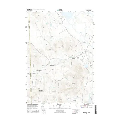
2014 Map of Brownfield
USGS Topo · Published 2014About this map
The Saco River meanders across the eastern border of this region where Maine and New Hampshire meet, defining a landscape of low-lying floodplains and significant peaks. Near the settlement of Brownfield, the terrain rises sharply toward Frost Mountain and Peary Mountain, while the northern reach is dominated by the sprawling waters of Lovewell Pond. The distribution of small burying grounds like Walker Rounds Cem and Merrill Cem near the various ‘corners’ and small villages suggests a long-established rural community structure that persisted into the early 21st century. Regional transportation centers on the Eastern Slopes Regional Airport and the network of local roads like the Pequawket Trl that link Merrill Corner to the smaller hamlets of West Brownfield and New Boston.
Find a feature on this map
109 named features on this map. Tap any name to fly to it.
Don’t see what you’re looking for? This feature index may not catch every label — zoom into the map to look around manually.
Map Details
Editions of this 2014 Brownfield Map
This is the sole edition of this map. No revisions or reprints were ever made.
Other maps of this area

1894 · North Conway
USGS Topo · 1:62,500

1896 · North Conway
USGS Topo · 1:62,500

1909 · Fryeburg
USGS Topo · 1:62,500

1910 · Kezar Falls
USGS Topo · 1:48,000

1911 · Fryeburg
USGS Topo · 1:62,500

1911 · Kezar Falls
USGS Topo · 1:62,500

1930 · Ossipee Lake
USGS Topo · 1:62,500

1941 · Fryeburg
USGS Topo · 1:62,500

1942 · North Conway
USGS Topo · 1:62,500

1945 · North Conway
USGS Topo · 1:62,500