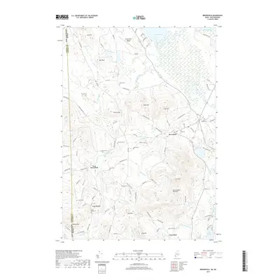
2018 Map of Brownfield
USGS Topo · Published 2018About this map
The Saco River and Little Saco River carve through a landscape of prominent peaks and upland settlements along the border of New Hampshire and Maine. This 2018 survey reveals a territory defined by the Burnt Meadow Mountains and heights like Tibbetts Mtn and Peary Mtn, where the valley floor supports the community of Brownfield and outlying hamlets such as West Brownfield and New Boston. A striking number of family cemeteries, including the Walker Rounds Cem and Merrill Cem, are preserved across the terrain, indicating a long history of generational land ownership. The presence of the Eastern Slopes Regional Airport near Lovewell Pond highlights the area's modern role as a regional hub, even as the network of rural roads like Eaton Center Rd and Old Co Rd maintains the character of a traditional New England frontier.
Find a feature on this map
108 named features on this map. Tap any name to fly to it.
Don’t see what you’re looking for? This feature index may not catch every label — zoom into the map to look around manually.
Map Details
Editions of this 2018 Brownfield Map
This is the sole edition of this map. No revisions or reprints were ever made.
Other maps of this area

1894 · North Conway
USGS Topo · 1:62,500

1896 · North Conway
USGS Topo · 1:62,500

1909 · Fryeburg
USGS Topo · 1:62,500

1910 · Kezar Falls
USGS Topo · 1:48,000

1911 · Fryeburg
USGS Topo · 1:62,500

1911 · Kezar Falls
USGS Topo · 1:62,500

1930 · Ossipee Lake
USGS Topo · 1:62,500

1941 · Fryeburg
USGS Topo · 1:62,500

1942 · North Conway
USGS Topo · 1:62,500

1945 · North Conway
USGS Topo · 1:62,500