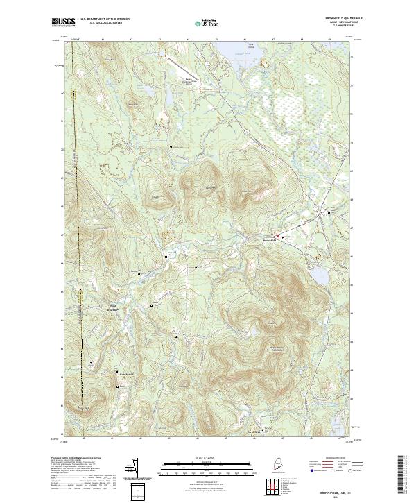
2024 Map of Brownfield
USGS Topo · Published 2024About this map
Brownfield and West Brownfield anchor this portion of Oxford County, Maine, where the winding Saco River and Little Saco River cut through a landscape defined by significant elevations like the Burnt Meadow Mountains. The settlement pattern reflects deep-rooted local history, evidenced by an exceptionally high density of family and small community burial grounds including Marston Cem, Merrill Cem, and the Brown Johnson Cem. These sites, along with the Walker Rounds Cem near New Boston, offer significant data for genealogists tracing the early residents of this border region adjacent to the New Hampshire Maine line.
Find a feature on this map
111 named features on this map. Tap any name to fly to it.
Don’t see what you’re looking for? This feature index may not catch every label — zoom into the map to look around manually.
Map Details
Editions of this 2024 Brownfield Map
This is the sole edition of this map. No revisions or reprints were ever made.
Other maps of this area

1894 · North Conway
USGS Topo · 1:62,500

1896 · North Conway
USGS Topo · 1:62,500

1909 · Fryeburg
USGS Topo · 1:62,500

1910 · Kezar Falls
USGS Topo · 1:48,000

1911 · Fryeburg
USGS Topo · 1:62,500

1911 · Kezar Falls
USGS Topo · 1:62,500

1930 · Ossipee Lake
USGS Topo · 1:62,500

1941 · Fryeburg
USGS Topo · 1:62,500

1942 · North Conway
USGS Topo · 1:62,500

1945 · North Conway
USGS Topo · 1:62,500