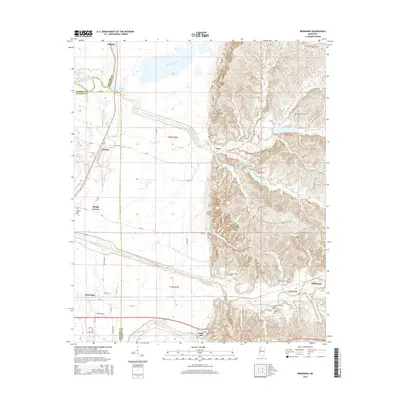
2015 Map of Browning
USGS Topo · Published 2015About this map
The Yalobusha River and its expansive floodplain dominate the western reach of this region where the Mississippi Delta meets the rising hill country. This boundary is sharply defined by the North-South transition from flat agricultural land to the dissected uplands near Teoc. The map highlights the legacy of the area through numerous family and community landmarks, including the Greenwood Leflore Cem and the site of Malmaison, historically associated with the Choctaw chieftain. Small settlements like Crenfree, Browning, and Valley Hill are scattered along the base of the bluffs, connected by a network of local roads such as Old MS 7 and Teoc RD. Water features like Sharkey Bayou and Big Sand Creek illustrate the complex hydrology of the basin, while various burial grounds like Mount Pisgah Cem and Oak Grove Cem offer significant points of interest for genealogical research.
Find a feature on this map
44 named features on this map. Tap any name to fly to it.
Don’t see what you’re looking for? This feature index may not catch every label — zoom into the map to look around manually.
Map Details
Editions of this 2015 Browning Map
This is the sole edition of this map. No revisions or reprints were ever made.
Other maps of this area

1936 · Greenwood
USGS Topo · 1:62,500

1940 · Seven Pines
USGS Topo · 1:62,500

1940 · Greenwood
USGS Topo · 1:62,500

1953 · Greenwood
USGS Topo · 1:250,000

1953 · West Point
USGS Topo · 1:250,000

1954 · McCarley
USGS Topo · 1:62,500

1956 · Greenwood
USGS Topo · 1:250,000

1957 · Greenwood
USGS Topo · 1:62,500

1957 · Seven Pines
USGS Topo · 1:62,500

1958 · West Point
USGS Topo · 1:250,000