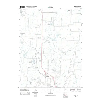
2012 Map of Browns
USGS Topo · Published 2012About this map
Columbia’s northern expansion is clearly visible in this geographic study, where suburban development meets the established rural communities of Boone County. The landscape is defined by a dense network of small lakes and reservoirs, including Bo Co Mo Lake and Silver Creek Lake, which illustrate the region's managed water resources. To the north, Hinton and Prathersville serve as key crossroads, while the outskirts of the city are marked by specialized sites like the EW Cotton Woods Memorial Airport and Camp Takimina.
Find a feature on this map
114 named features on this map. Tap any name to fly to it.
Don’t see what you’re looking for? This feature index may not catch every label — zoom into the map to look around manually.
Map Details
Editions of this 2012 Browns Map
This is the sole edition of this map. No revisions or reprints were ever made.
Other maps of this area

1886 · Jefferson City
USGS Topo · 1:125,000

1890 · Moberly
USGS Topo · 1:125,000

1894 · Jefferson City
USGS Topo · 1:125,000

1917 · Sturgeon
USGS Topo · 1:62,500

1935 · Columbia
USGS Topo · 1:24,000

1940 · Columbia
USGS Topo · 1:24,000

1944 · Millersburg
USGS Topo · 1:62,500

1945 · Centralia
USGS Topo · 1:62,500

1946 · Millersburg
USGS Topo · 1:62,500

1947 · Jefferson City
USGS Topo · 1:250,000