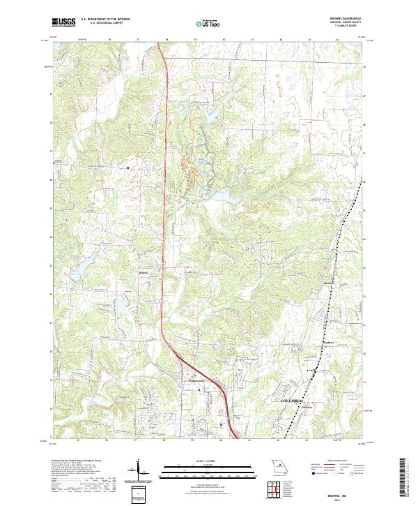
2021 Map of Browns
USGS Topo · Published 2021About this map
Rocky Fork Creek and the Clays Fork drainage define the topography of central Boone County, where small agricultural communities and newer residential developments meet. The northern outskirts of Columbia extend toward Prathersville, while the smaller settlements of Hinton, Browns, and Stephens maintain their distinct positions along the local road network. The landscape is characterized by a mix of water features and recreational land, including Silver Cr Lake and the extensive Finger Lakes State Park, which occupies a terrain shaped by historical land use. Genealogists may find interest in the location of Dripping Spring Cemetery west of the Silver Fork branch. The map illustrates the transition from the city's edge at Switzler to the more rural stretches near Lake Caroline and Bo Co Mo Lake.
Find a feature on this map
122 named features on this map. Tap any name to fly to it.
Don’t see what you’re looking for? This feature index may not catch every label — zoom into the map to look around manually.
Map Details
Editions of this 2021 Browns Map
This is the sole edition of this map. No revisions or reprints were ever made.
Other maps of this area

1886 · Jefferson City
USGS Topo · 1:125,000

1890 · Moberly
USGS Topo · 1:125,000

1894 · Jefferson City
USGS Topo · 1:125,000

1917 · Sturgeon
USGS Topo · 1:62,500

1935 · Columbia
USGS Topo · 1:24,000

1940 · Columbia
USGS Topo · 1:24,000

1944 · Millersburg
USGS Topo · 1:62,500

1945 · Centralia
USGS Topo · 1:62,500

1946 · Millersburg
USGS Topo · 1:62,500

1947 · Jefferson City
USGS Topo · 1:250,000