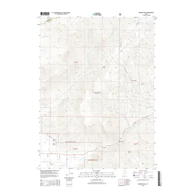
2014 Map of Browns Hole
USGS Topo · Published 2014About this map
Cache National Forest encompasses the majority of this terrain, where the headwaters of the Ogden River system carve through the high country of Weber and Cache counties. The topographic layout is defined by the convergence of the Middle Fork Ogden River and the South Fork Ogden River, with the latter followed closely by the route of Highway 39. This corridor serves as the primary access point into the deeper canyons, including Magpie Canyon and Critian Hollow. To the north, the isolated basin of Browns Hole is surrounded by a network of drainage creeks like Elk Creek and Cobble Creek. While much of the land remains undeveloped forest, the southwestern corner shows the beginning of residential expansion with roads such as Pineview Drive and Mountain Valley Drive pushing into the foothills near Kelley Canyon.
Find a feature on this map
39 named features on this map. Tap any name to fly to it.
Don’t see what you’re looking for? This feature index may not catch every label — zoom into the map to look around manually.
Map Details
Editions of this 2014 Browns Hole Map
This is the sole edition of this map. No revisions or reprints were ever made.
Other maps of this area

1954 · Ogden
USGS Topo · 1:250,000

1955 · Huntsville
USGS Topo · 1:24,000

1955 · James Peak
USGS Topo · 1:24,000

1955 · Snow Basin
USGS Topo · 1:24,000

1958 · Ogden
USGS Topo · 1:250,000

1960 · Ogden
USGS Topo · 1:250,000

1961 · Morgan
USGS Topo · 1:62,500

1964 · Monte Cristo PK
USGS Topo · 1:24,000
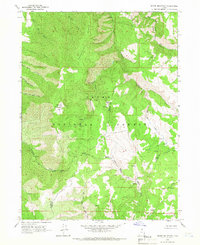
1964 · Sharp Mountain
USGS Topo · 1:24,000
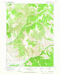
1964 · Browns Hole
USGS Topo · 1:24,000
Featured Places
- Green Hill Country Estates, UT
- Huntsville Hollow, UT
- Evergreen Park, UT
- Mountain Valley Meadows, UT
- Weber County, UT