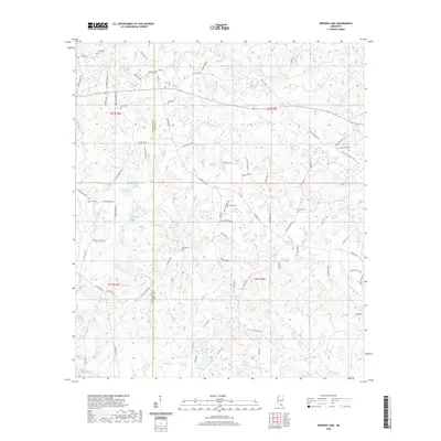
2020 Map of Browns Lake
USGS Topo · Published 2020About this map
Biloxi River headwaters and winding creeks define this landscape on the border of Pearl River and Stone Counties. The terrain is a complex of wetlands and small lakes, including Browns Lake, Lake Toc-O-Leen, and Horsehead Lake, interspersed with rural family settlements. These lineages are anchored by numerous burial grounds scattered throughout the area, such as Red Creek Cem, Daugdrill Cem, and multiple sites named Lee Cem.
Find a feature on this map
74 named features on this map. Tap any name to fly to it.
Don’t see what you’re looking for? This feature index may not catch every label — zoom into the map to look around manually.
Map Details
Editions of this 2020 Browns Lake Map
This is the sole edition of this map. No revisions or reprints were ever made.
Other maps of this area

1947 · Wiggins
USGS Topo · 1:62,500

1949 · Wiggins
USGS Topo · 1:62,500

1953 · Mobile
USGS Topo · 1:250,000

1954 · McHenry
USGS Topo · 1:62,500

1955 · Savannah
USGS Topo · 1:62,500

1957 · Mobile
USGS Topo · 1:250,000

1958 · Carnes
USGS Topo · 1:62,500

1960 · Mobile
USGS Topo · 1:250,000

1963 · Mobile
USGS Topo · 1:250,000

1965 · Mobile
USGS Topo · 1:250,000